One of my first distance rides going north, when I started getting serious more than 20 years ago, involved riding through Barrington Hills and then into Lake Barrington, Port Barrington and Island Lake.
Getting through Barrington Hills from the Hoffman Estates-Schaumburg area for me was quite something in itself at the time. Then the open space going north from Route 14 was something of a foreign land to me.
But it’s been one of my favorite road rides ever since because of its surprisingly pretty landscapes, even though it’s mostly only slightly hilly farmland maybe lined with trees. It’s no wonder that a lot of it is being managed by Citizens for Conservation, whose top priority has been preserving “the iconic green space character of Barrington,” really meaning the Barrington area.
Now the route involves roundabouts — and some of the route is closed as two new ones are being built this year.

The money part of this ride for me has begun by turning off the end of Plum Tree Road where it meets Cuba Road on the north end of Barrington Hills. I turn toward Route 14 and cross onto Kelsey Road.
The stalwart Kelsey Road House, with its big sign, appears right away on the left. Only in the past few years has there been the gas station at the northeast corner, handy on the way back if I need to get refreshments (less awkwardly than going into the Road House for a cola).
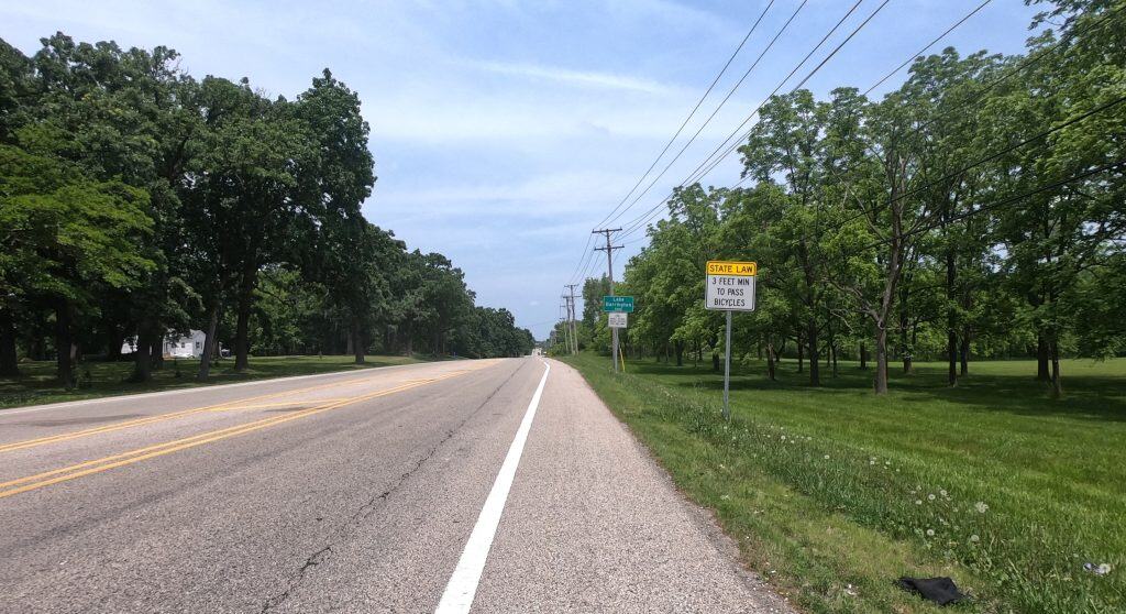
Kelsey Road through Lake Barrington has always had a decent shoulder to ride on, but there’s a fair amount of traffic. That right away makes this ride most suitable for serious cyclists.
The road is mildly hilly, and you pass a lot of trees and spacious home property.
Soon you’re curving right and encountering Old Barrington Road on the right. That’s a nice road itself through forested residential property, but for this ride I’m passing it up for the intersection of Kelsey and River roads. I head left onto River Road.
The land starts to open up as you proceed north; you pass the Tower Lakes Fen Nature Preserve on the right, for instance. You don’t see it, but the Fox River is curving toward the road on the left.
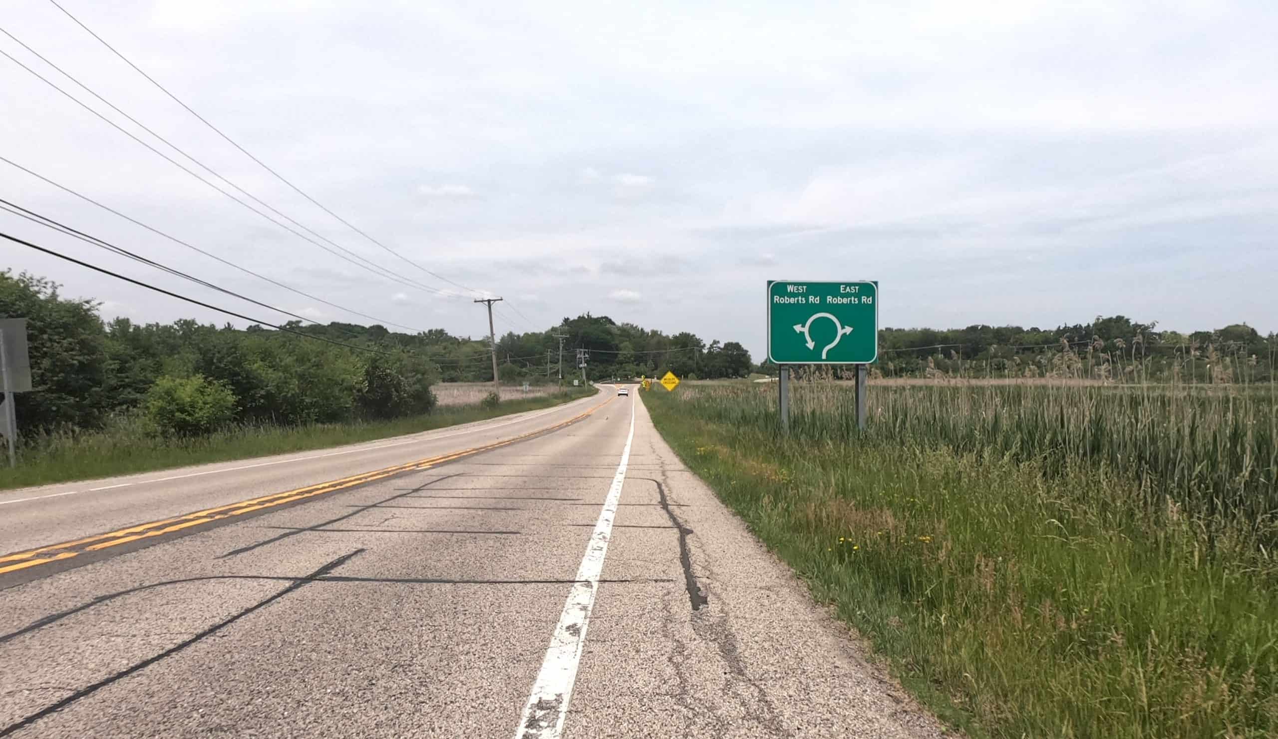
Then the first roundabout comes, at Roberts Road. It’s not that old, but it’s already become habit. I turn left to head through Port Barrington.
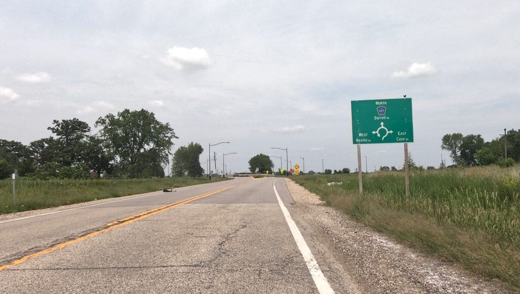
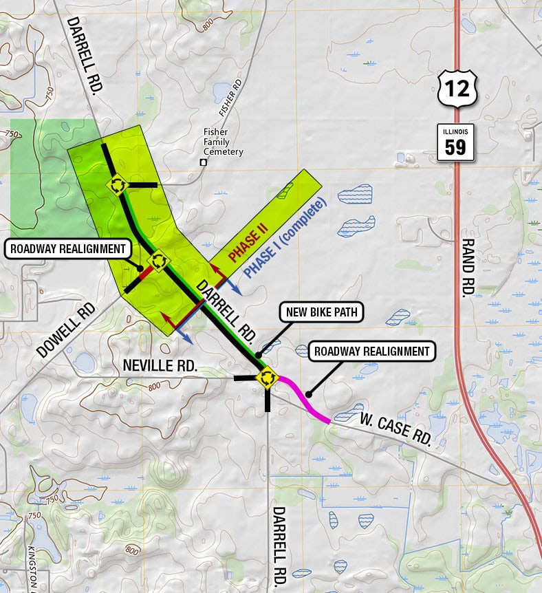
Next comes a key north-south thoroughfare in west Lake County: Darrell Road.
It’s been really nice for cyclists because it still has a shoulder, the open green landscapes are just lovely, and there’s not too much traffic (in my opinion, anyway).
But now Darrell Road has been getting roundabouts.
Three roundabouts have been planned for Darrell to help traffic move through smaller intersections. A bike path is planned between all three of them. The first roundabout going north links up Neville and Case roads.
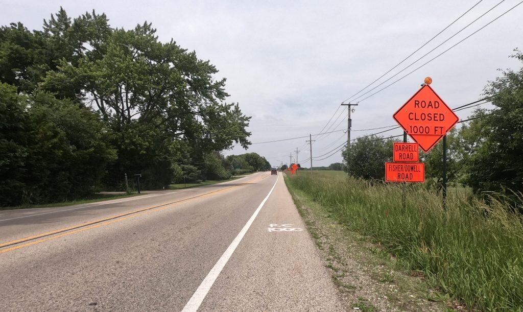
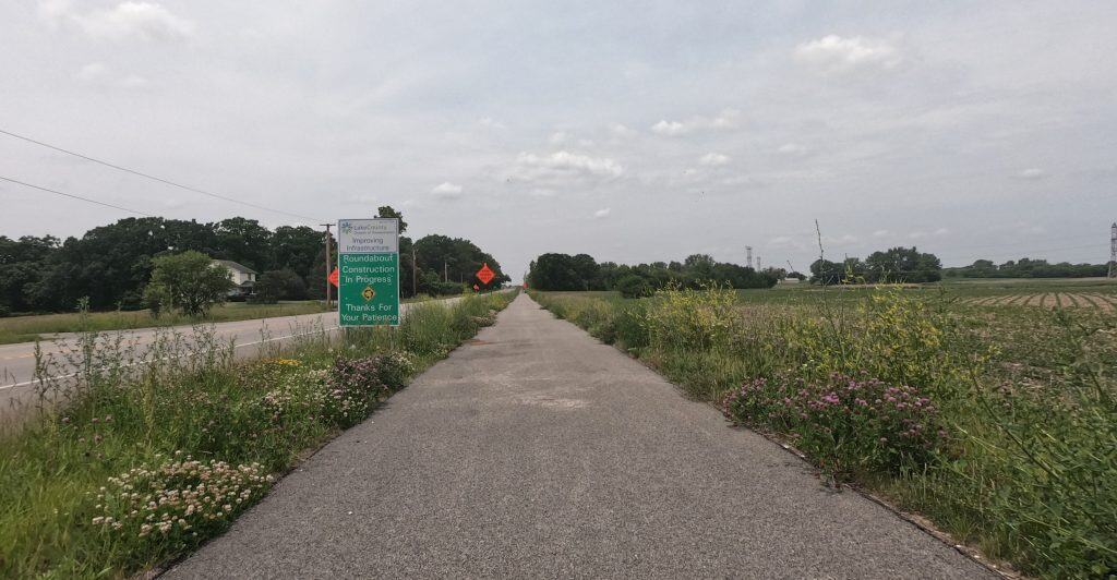
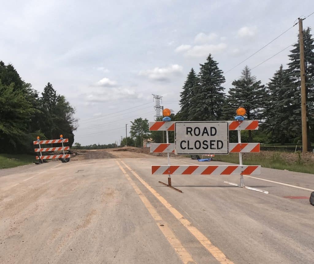
For the second and third roundabouts now under construction, according to the project website, Dowell Road will be straightened out to join Darrell Road at a roundabout, and a roundabout will be added just north at the intersection with Fisher Road.
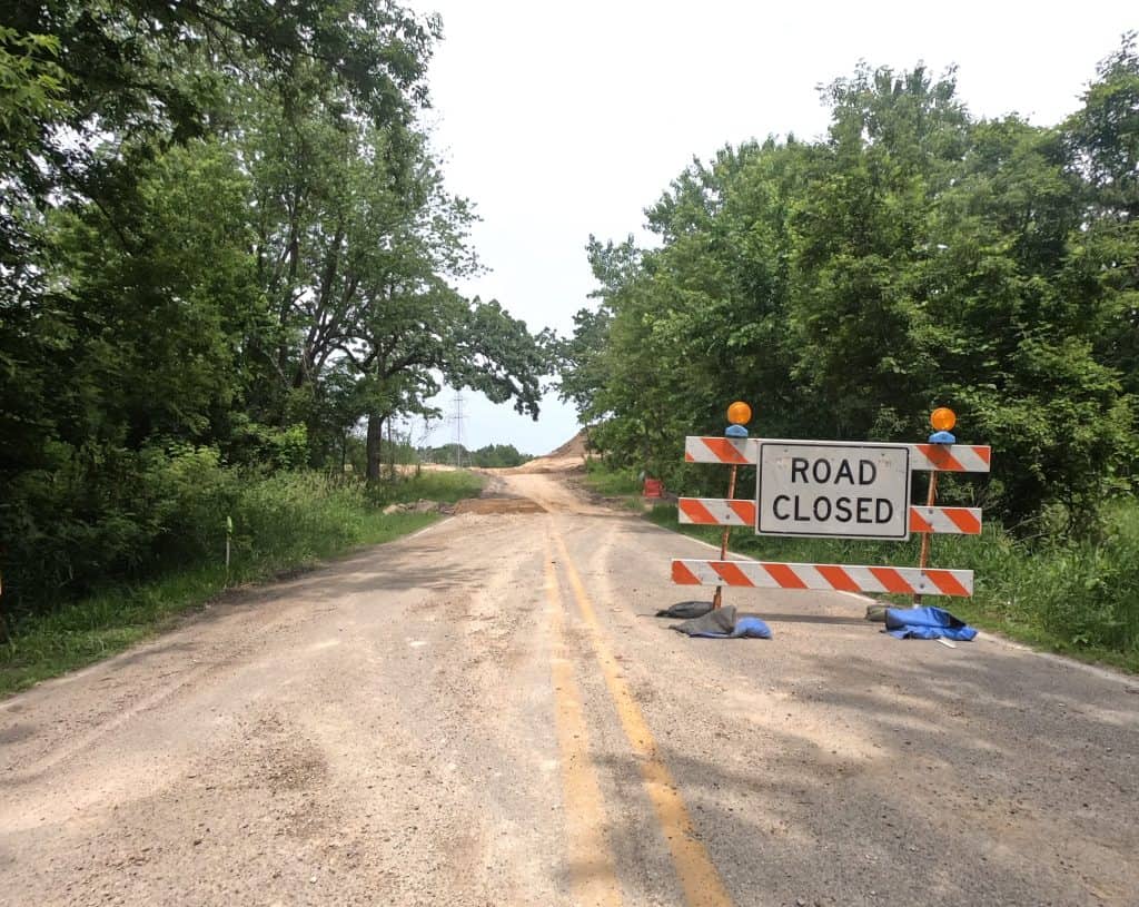
So if you want to ride the whole of Darrell Road now, to get to Lakemoor and Volo, you’re out of luck. As of June 15, the road was thoroughly ripped up ahead of Dowell Road as the new roundabout was being built.
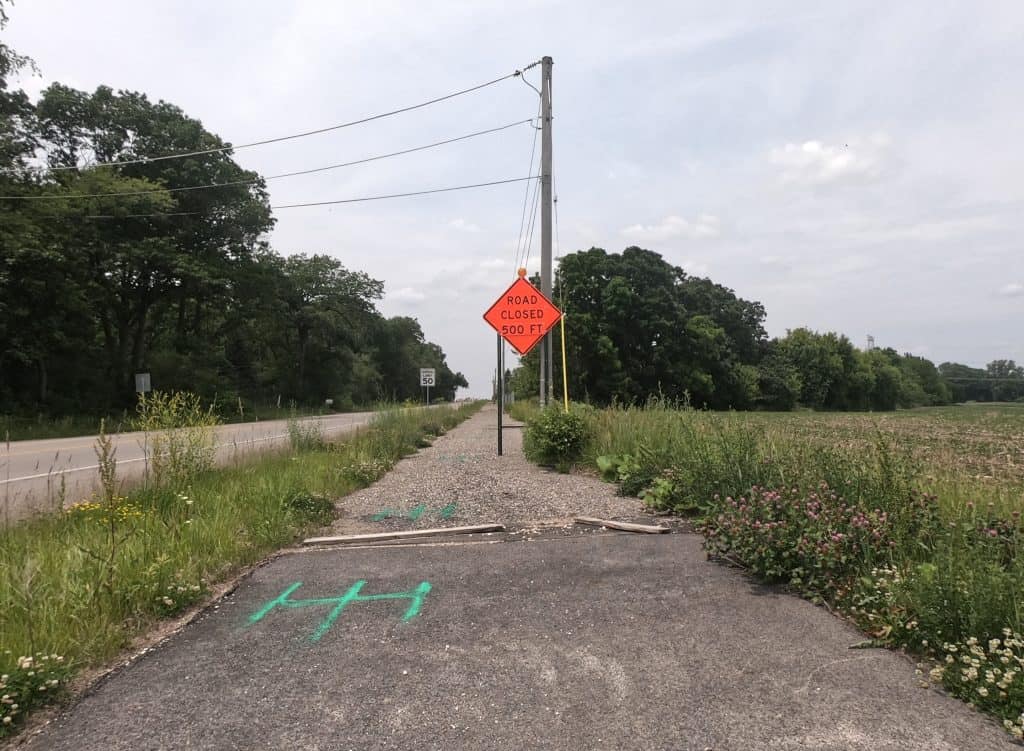
You also couldn’t sneak around the back way on Dowell, via Neville Road, because of course the roundabout will meet Dowell, too. Your options are to take River Road to Lily Lake Road, or, like the drivers, Route 12.
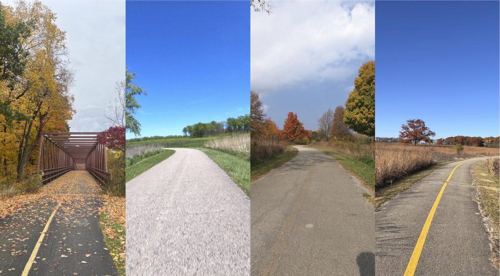
You can get a sneak preview of the new bike path between the roundabouts by riding the one that starts just south of Case Road and continues north of the roundabout there (picture at very top).
But then it, too, abruptly ends on Darrell until the new roundabout at Dowell is built.
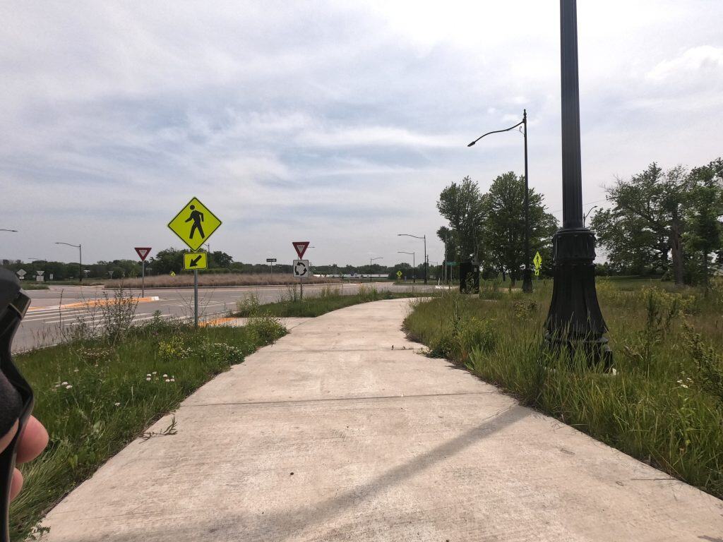
Soon enough, we’ll see how it all turns out. The Darrell-Case-Neville roundabout gives us an idea of what the bike paths right on the new roundabouts will be like.
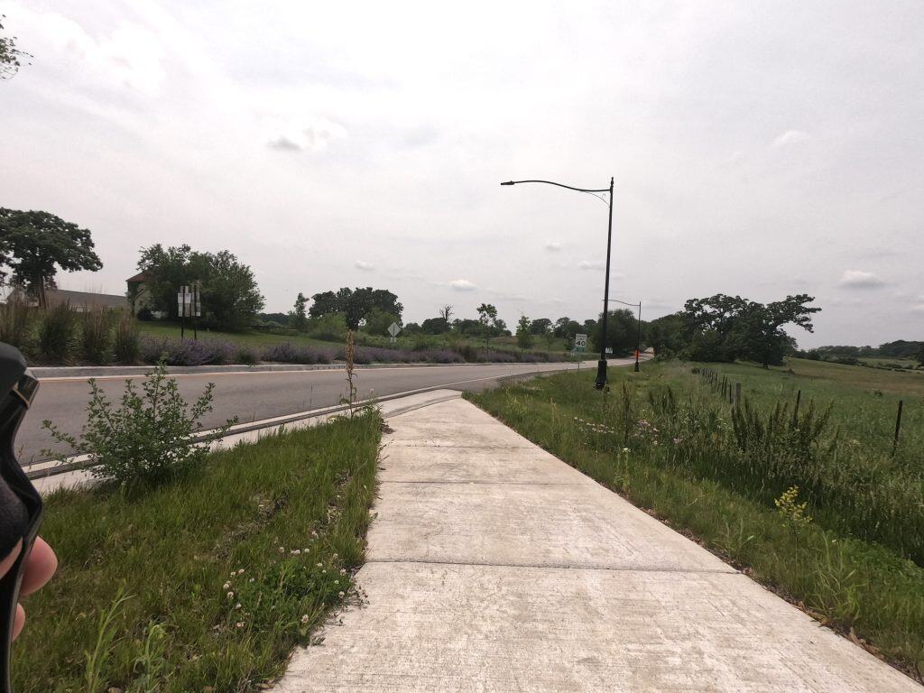
Which is to say, it’ll run between and around them, with easy, marked street crossings. But when they’re done, they’ll send you right back onto the shoulder.
The engineers’ animated video showing the new roundabouts in action suggests the bike paths among the roundabouts will be used by several people in the community.
But looking at the set-up, it’s hard to imagine that will happen — because Darrell Road lies pretty far away from the Island Lake or any other residential and community centers.
Still, if people are riding across town or between the suburbs, these roundabouts are safer than the featureless intersections that came before. And the more serious cyclists will continue riding the roads as they had before, with the paths helping them get through intersections, too.
In the past, I’d circle around the area between Island Lake and Lakemoor, or maybe Volo, and head back. Or I’d ride south back to Bonner Road and go east into Wauconda and Lake Zurich, then head back south.
After this year, we’ll see if Darrell Road can still hold up its end of this surprisingly scenic ride. Will the roundabouts help car and bike traffic or not? The pretty open land will be there in any case.
• Enjoy the views and information? Consider donating to help defray the costs of providing the material and keeping up the website.