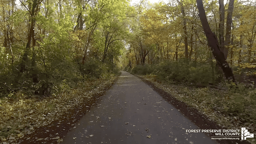
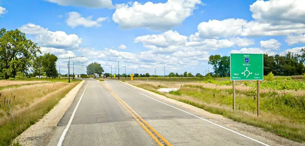
A visit to cousins took me to a peninsula in eastern Maryland, where I thought I would struggle to find comfortable roads to bicycle. I was happy to be wrong.
It turns out the land southeast of Washington between the Patuxent River and Chesapeake Bay is full of pretty roads that probably most of the country doesn’t know about.
Local cyclists clearly do know about them; I saw plenty out there especially on the weekend, and I saw markings on the road indicating a larger organized ride. The locals also surely know what my cousins told me: that you will not be able to see a whole lot of the water even on bayside or riverside roads.
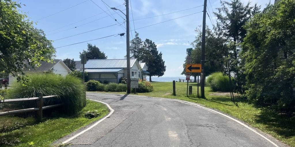
I went to see for myself. It’s true, you have to chase down the waterfront views. But in the meantime, you can encounter rather pretty interior roads within the region’s abundant forest terrain.
These are roads for serious cyclists, with long, rolling hills in spots, maybe small sharp ones here and there.
I was based in Huntingtown, a good central spot. I first rode north to the tourist towns of Chesapeake Beach and North Beach. They are everything they promise: lovely downtowns with shops and restaurants and some waterfront views.


It was a nice trip to those towns, too. The main road through the whole peninsula, state Route 4, is really a highway, but it does have a wide bike lane. Yet the traffic is still loud, and there are intersections and retail driveways to deal with, especially in towns like Dunkirk and Prince Frederick. So I braved inland roads that don’t have much if any shoulder.
Fortunately, they don’t have much traffic, either. Going north, first of all, I could take Route 2, which shoots off northeast from Route 4, to small towns like Owings and Friendship, and even take some little sidestreets parallel to Route 2 for a bit.
After Friendship, I could take nice roads east over to North Beach and Chesapeake Beach.

Or I could continue north. There’s a winding road that briefly curves to and along Herring Bay, a slot of water off the larger Chesapeake Bay; you ride alongside the water for a small but soothing bit.
The road curves back inland, the only way to get back north to see more seaside towns, including Deale and Churchton.
Here’s where I found any kind of long bayfront road with a view of the water, Chesapeake Drive. It’s a residential road; you can admire both the homes and the bay.
I also took the opportunity to ride the little neighborhood roads to check out the cottage-like homes. Most locals didn’t seem to mind.

You can also ride southeast ultimately to the tip of the peninsula, passing towns like St. Leonard, Calvert Beach-Long Beach and finally Solomons at the very bottom.
The only trouble on the south side is you can go only out and back to and from those towns. You have to ride the busy Route 4 first, turn onto the roads toward the towns, then turn back; you can’t make loops or ride along the bay.
Farther north, you can ride east to Dares Beach — a town, not really a public beach — then north up to the Breezy Point Beach, to which enthusiastic signs steer you. It’s fine enough.
You head back out to a busier road that can take you north to Chesapeake Beach and North Beach; it’s the hillier, somewhat more stressful way to get to those towns.

I learned that if I wanted a simple ride, I could just cycle the roads west off Route 4 around Huntingtown and Prince Frederick. A lot of them are out-and-backs, with little chance of seeing the Patuxent River.
I thought those roads would be unattractive, but they often were rather picturesque themselves. The journeys were better than the destinations.
Before I knew it, I managed to ride more than 225 miles over five days. Not bad for a trip in which the primary event was a July 4 boat ride to see fireworks.
Here’s my excellent final day’s ride that involved bayside and interior roads both.
And here’s what a ride with out-and-back roads looks like — I was still able to log quite a few miles.
• Enjoy this little trip? Consider donating to help defray the costs of gathering material and maintaining this website.