When I briefly lived in east Aurora and biked on the country roads to the south and west, cyclists were telling me what a nice ride Reservation Road is.
It’s just a few miles long from Grove Road coming out of Oswego, across state Route 71 and to Van Emmon Road toward the Fox River and ultimately Yorkville.
But those few miles offer a variety of landscapes — and history. It’s a road most likely to be traversed by serious cyclists, since it takes some open-road riding to get to, but it’s plenty suitable for casual bicyclists, too.
History on the east end
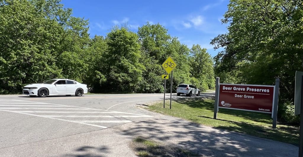
After Grove Road leaves Oswego and enters the country, it soon turns a little east for a big curve. But at that point you see Reservation Road heading west.
The two-lane road looks quiet and simple enough: Fencing or trees border property with prairie or more trees. You see power lines and street lights on the left.
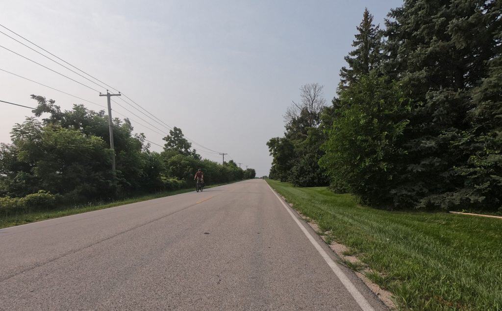
But this road used to bisect two Indian reservations. Or really, a piece of land each given by the federal government to two individual American Indians, according to Oswego historian Roger Matile.
Matile has lived in the area over all of his 80 years, was a local newspaper editor and has been a columnist for decades, a Shaw Local profile says. Plus he’s volunteered as the director of the Little White School Museum in Oswego since 1994.
“It’s more accurate name would be Reserve Road,” Matile told me about Reservation Road, “since those two land grants weren’t reservations but were land reserved for the use of those two individuals.”
As Matile wrote in his local history blog in October 2024:
Members of the Three Fires Confederacy, comprised of bands of the Potawatomi, Ottawa, and Chippewa tribes, moved to the Kendall County area about 1750. … The three related groups of the Three Fires soon intermarried and they became virtually a single tribe. …
When it comes to individuals, we know a little about Mo-Ah-Way, for instance, but only by the name. Possibly a Potowatomi woman, she was granted 160 acres of land in what is now Oswego Township by the Treaty of 1829 signed at Prairie du Chien in modern Wisconsin. And that’s all we know about her. We don’t know for sure if she was a man or a woman, whether she was married or whether she had children. We don’t even know why she was granted the half-section.
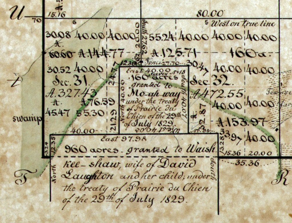
A geneaology archive by longtime Kendall County coordinator and historian Elmer Dickson says Mo-Ah-Way “was purported to be the widow of the Indian Wolfe, who owned a triangular piece of land at the junction of the north and south branches of the Chicago River.”
The archive says the land was recorded on the federal plat as the Mo-Ah-Way Reservation.
Matile continued:
We know more about Waish-Kee-Shaw, a Potowatomi woman granted land in the same treaty. Waish-Kee-Shaw was granted 960 acres of land, lying in what is today Oswego and NaAuSay townships and adjacent to Mo-Aw-Way’s reserve, for the use of her and her child. The treaty does not specify why the land was granted, however.
Waish-Kee-Shaw was the wife of David Laughton, an Indian trader, who lived with her on a parcel farther east in modern Indiana.
The land also was called a “reservation” on the plat.
“There is no evidence either Waish-Kee-Shaw or Mo-Ah-Way ever lived on their reserves,” Matile wrote in a 2018 post about the history of Kendall County place names. Waish-Kee-Shaw sold the land in 1835 for $3,000, according to Dickson’s archive, and died with her husband in DuPage County.
Mo-Ah-Way also sold her land in 1835, but the archive doesn’t list a price. Matile wrote that she moved west with the rest of the Three Fires, eventually landing in Kansas.
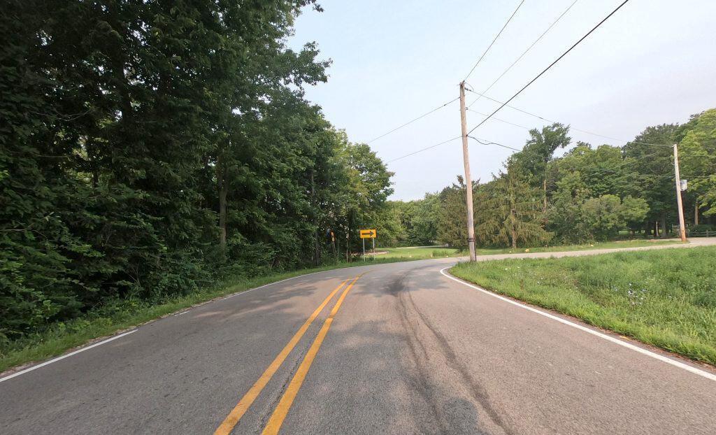
Mo-Ah-Way’s land was on the north and Waish-Kee-Shaw’s on the south. The S-curve that comes as you ride west make Reservation Road veer off the old reserves’ boundaries, Matile said.
S-curves, hills and valley
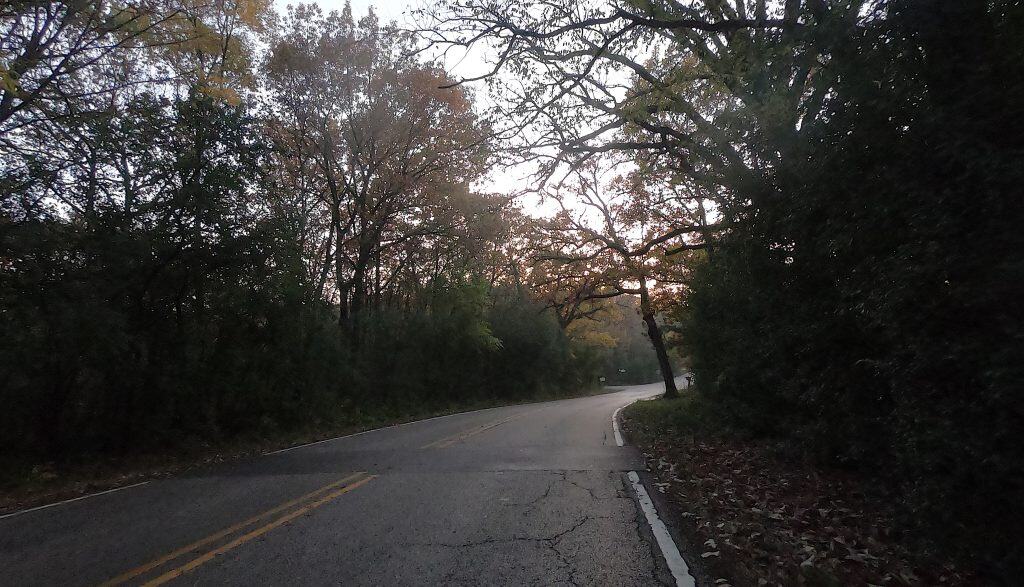
Reservation Road’s S-curves provide fun, scenery and maybe a challenge for cyclists.
The rolling hills bring the first glimpses of a more varied landscape: pretty open land and multiple groves. Some homes are nestled within the trees.
You have to work up the hill as you’re turning. With the trees lining the road, you feel like you’re making your way through a slot around something.
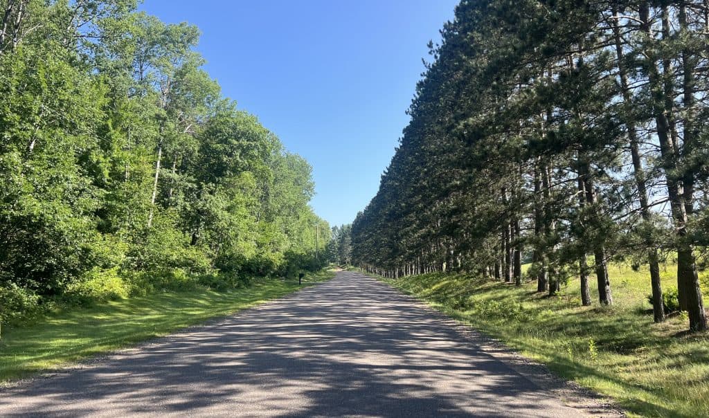
As you proceed west after the curves, some trees get so thick as to almost form canopies. There are even some thick pines.
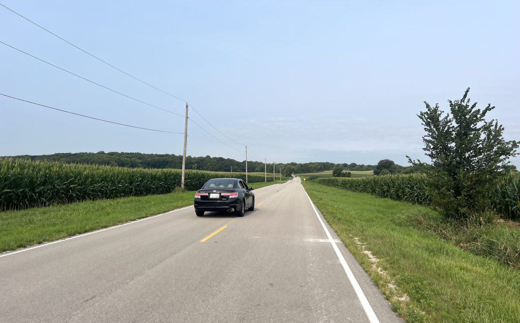
A little downhill comes, and then a wide expanse of farmland emerges. There’s geological history here, Matile wrote:
Where Reservation dips down into that flat valley, it’s crossing an Ice Age lake bottom. There are ancient Native American habitation sites on both ridges bordering the old lake bed. By the time White settlers arrived, the lake had filled in and was a large wetland they called the Big Slough that fed Morgan Creek.
In the early 1900s, a formal drainage district was established to finance draining the slough and channelize the creek all the way to the Fox River. In 1908, a large steam dredge was shipped to Oswego in pieces and assembled out in the slough on its own barge. Two other barges held fuel for the steam engine that powered the big shovel and to house the crews that ran the operation. It ran nearly 24 hours a day.
Matile said crews happened to excavate a mastodon skeleton from the mud. “They put it on display in an Oswego storefront, but unfortunately it then disappeared,” he wrote.
Back to trees and rollers
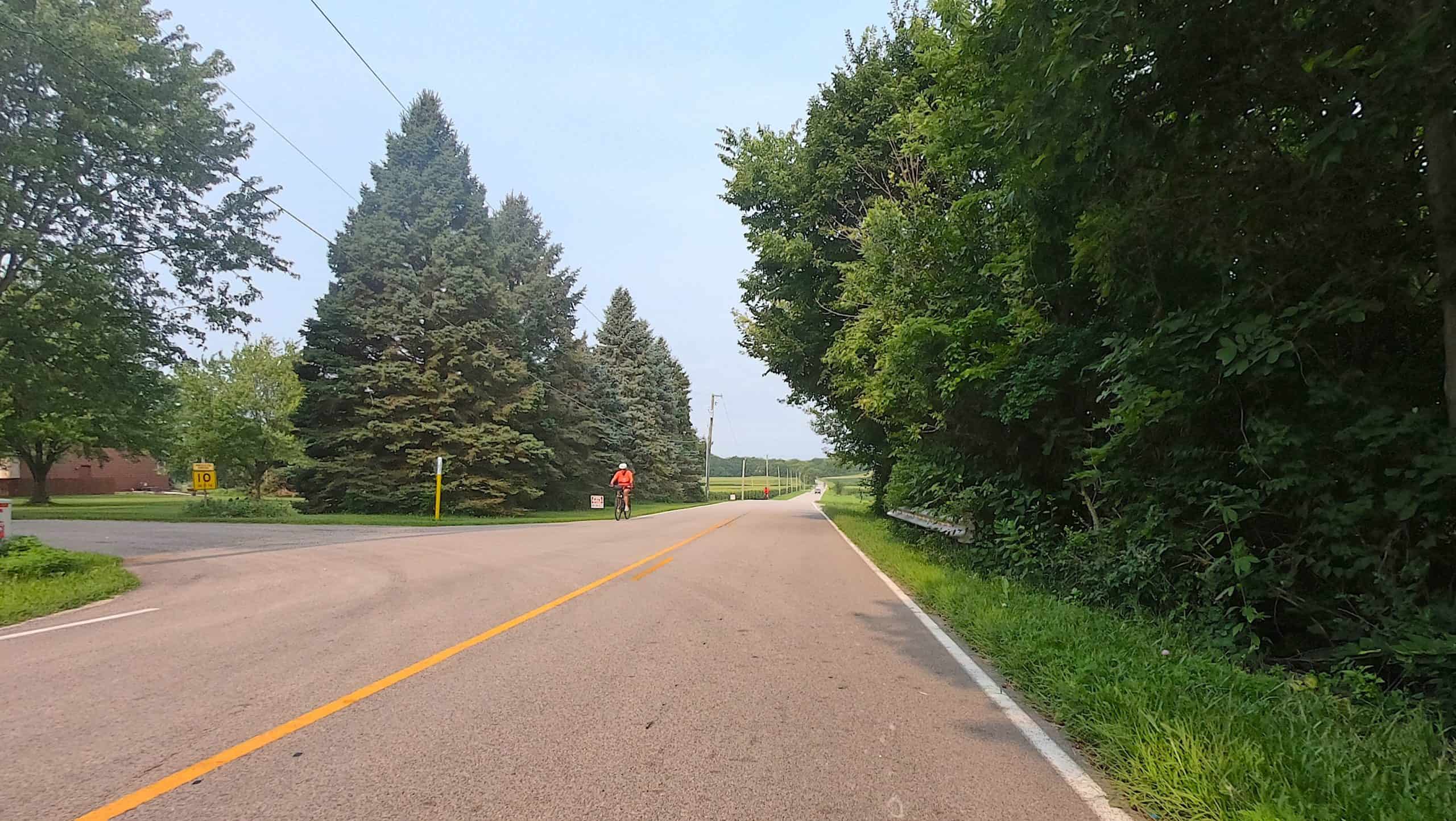
After the valley, Reservation Road starts to get hillier and woodsier again. It’s arguably the prettiest section.
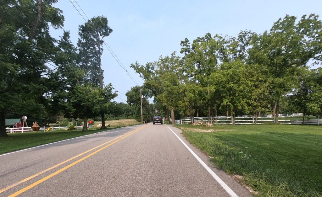
Some of the trees do manage to form a canopy in spots. Homes appear again, at least one with fun lawn sculptures of animals or birds. White wooden fences add to the peaceful scene.
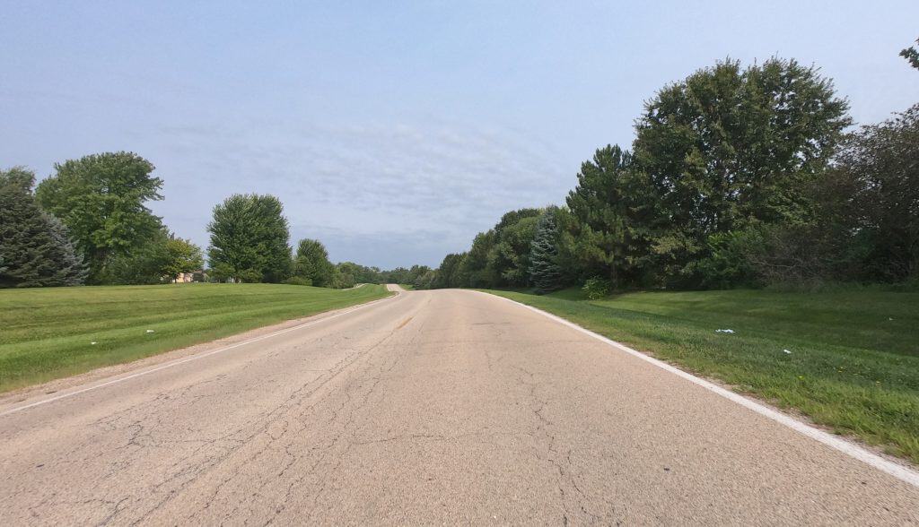
Once Reservation crosses Minkler Road, it looks a little more suburban. Subdivisions are laid out on both sides of the road. Or maybe it’s one big subdivision.
But the road’s still smooth and lightly trafficked, and all the property is pretty spacious. It’s still a little hilly. Trees and meadows keep it green.
It’s a nice end to a nice stretch of road that has a unique history.
• Isn’t talking cycling roads and trails fun? Share your favorite photos and videos of routes for a possible post. And consider a donation to keep this website full of pretty pictures going.