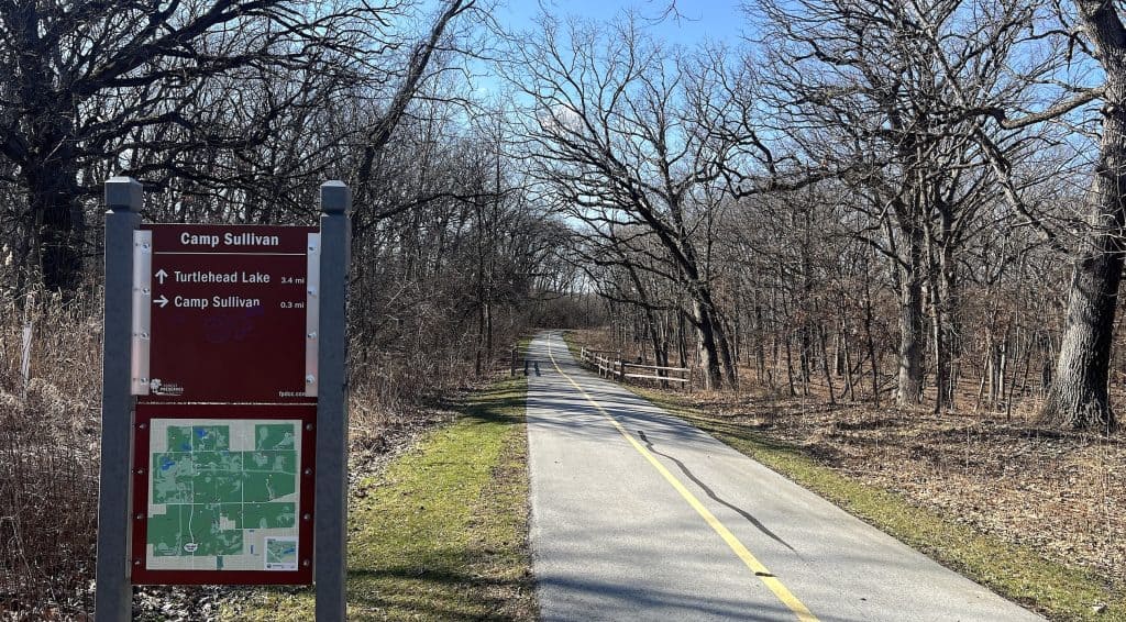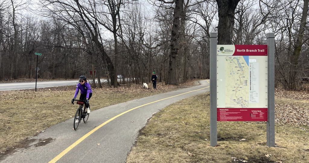
I just got a look at the remade Des Plaines River Trail between Lawrence Avenue and Irving Park Road in Cook County. And, wow!
Meanwhile, in what’s old news to riders of the DPRT on the Lake County side, underpass flooding persists. There’s a way to check conditions, at least.
New in Cook County
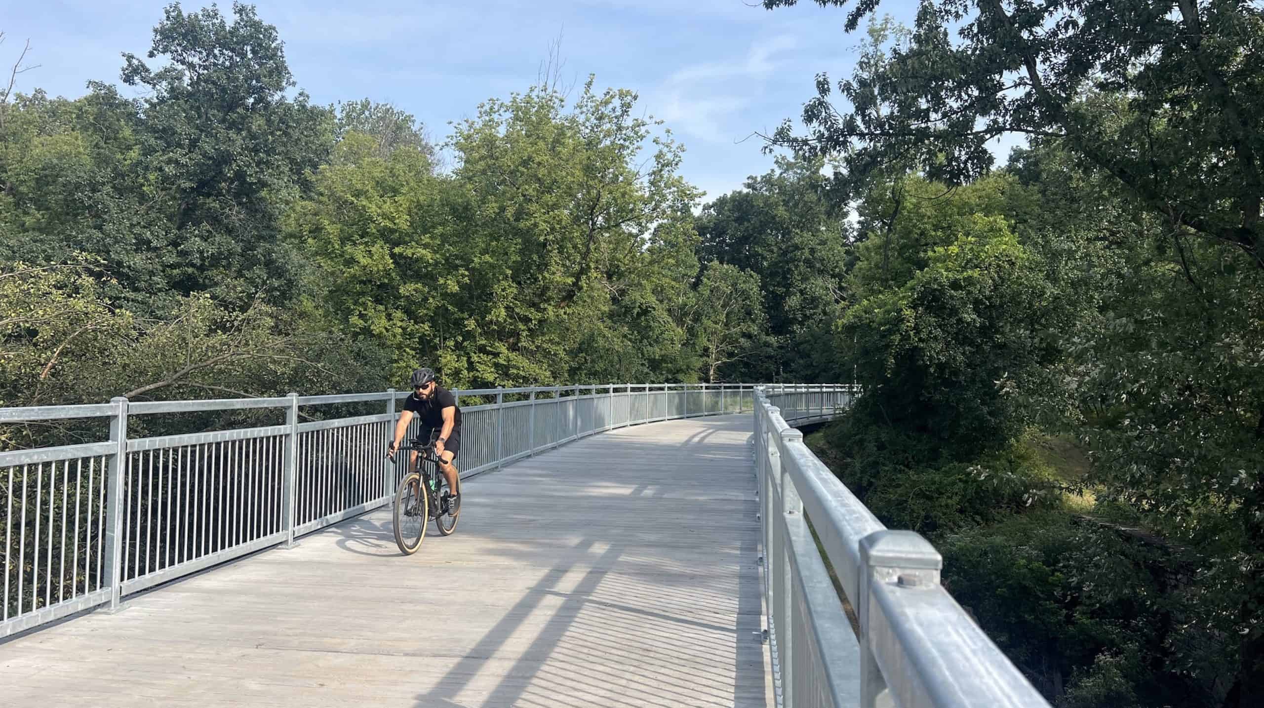
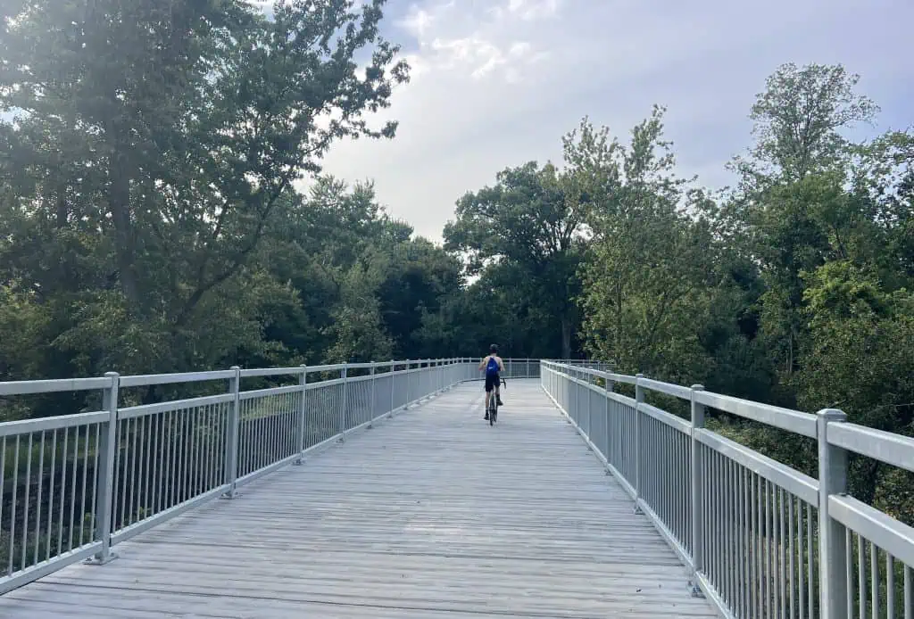
First, the Des Plaines River Trail in Cook County now features a new long boardwalk shortly south of Robinson Woods South.
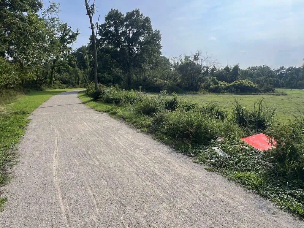
But what’s more striking is the new gravel path. It’s wide, it’s flat, it’s smooth and it’s consistent. It’s fine gravel that’s been laid down — such a contrast to the rough rocks on other sections of the trail.
It even rivals the consistently smooth (flooding notwithstanding) Des Plaines River Trail in Lake County, itself one of the finest trails in the Chicago area.
Gravel riders who liked the challenge of the previous rough trail on the Cook County side, to the point of basically mountain biking sometimes, will be disappointed. The improvements definitely aim to make the DPRT a truly multi-use path, suitable for all skill levels.
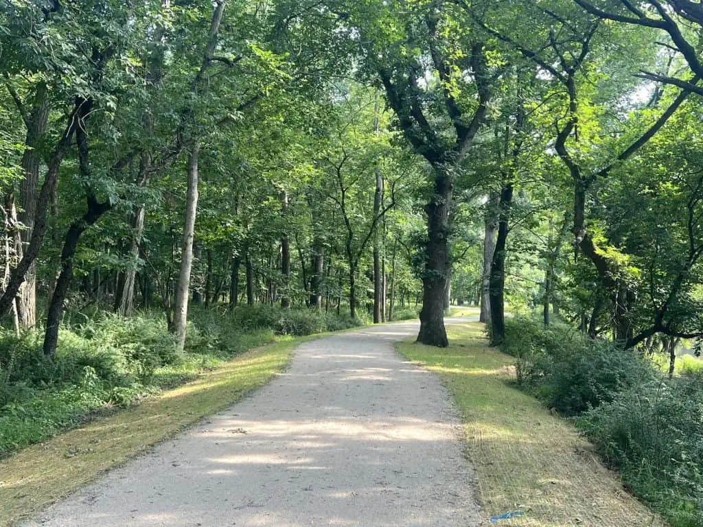
The Cook County side of the Des Plaines River Trail has been seeing work for several years now, culminating in the new bridge over Lawrence Avenue and boardwalks to the north. The work continuing south to Irving Park Road, to steer the trail away from flooding areas, was substantially completed in 2025, but it lingered into 2026.
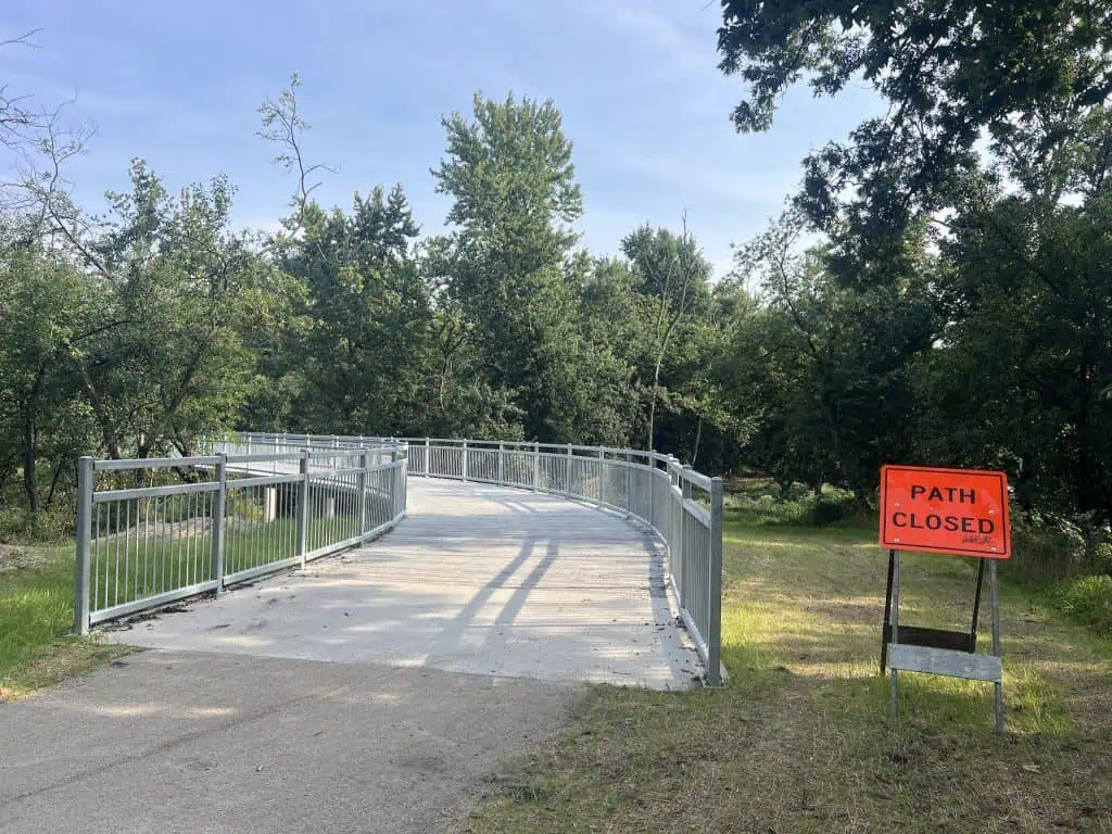
The project included “reconstruction of the 1-mile segment” south of the Lawrence bridge, according to the county forest district’s latest 5-year Capital Improvement Plan. The new boardwalk started to take shape in early 2026, and trail reconstruction since has clearly gone beyond the 1 mile.
Another section from Fullerton Avenue to North Avenue “should be ready for construction bidding by late 2026,” with funding being shared by the Village of River Grove and the county, plus a federal grant covering 80% of the cost. “Roughly $2.9 million in matching funds will be needed by 2027.”
Then, “engineering design for the last, much more difficult stretch” — between Irving Park Road and Fullerton — “involving new bridges over more roadways and railroad tracks will start in 2026,” the capital plan says.
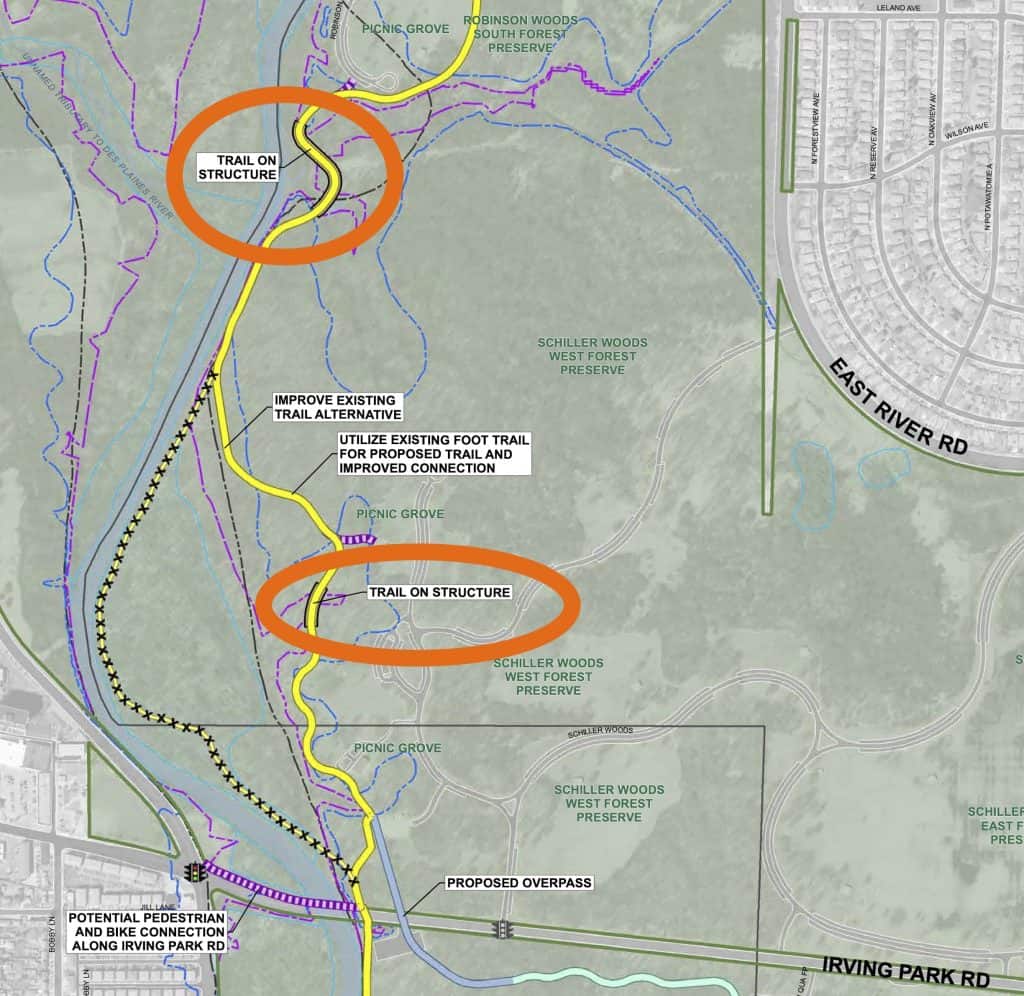
A “proposed overpass” is indicated on the project map at Irving Park Road, but we’re not there yet. The dangerous crossing remains for now.
Yet the trail is new almost all the way down to Irving Park Road from Lawrence Avenue. It now curves substantially east before getting there.
The trail that far south used to be right on the river, and you would have to sneak through the forest east to access the Schiller Woods picnic groves and the parking lot.
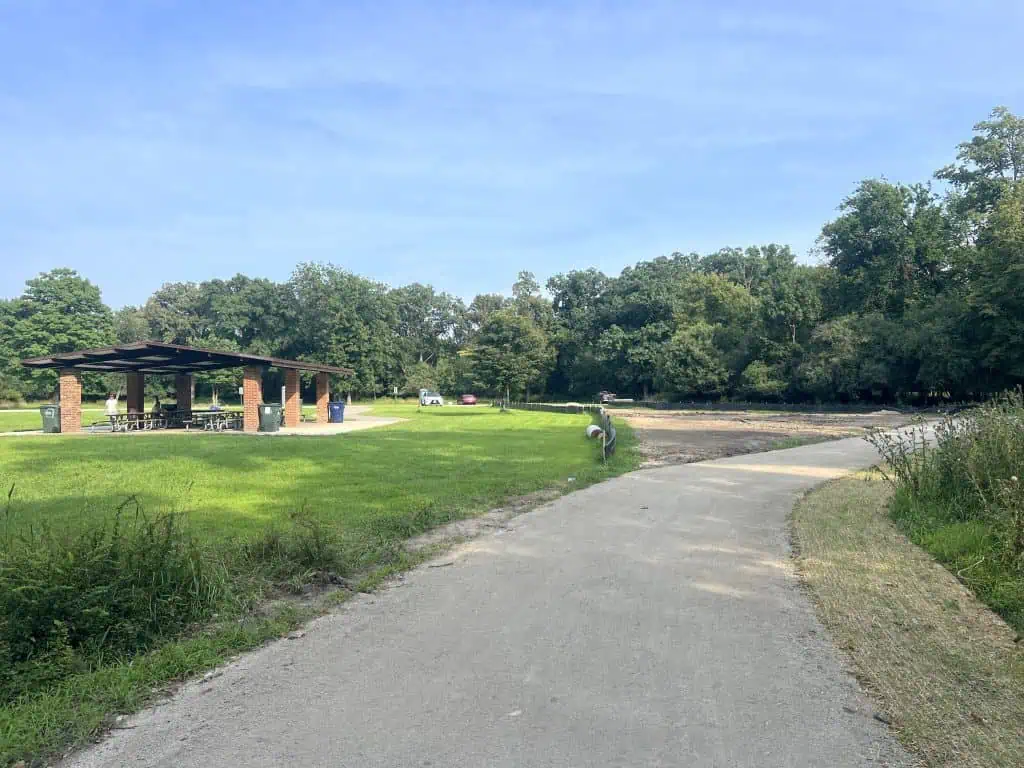
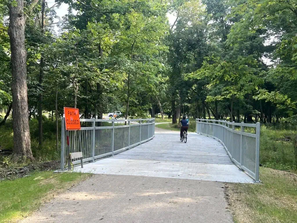
But now the trail, still all with its smooth gravel and full width, officially meets up with the picnic groves. That both moves it away from flooding sections along the river and provides close access to the parking — cement paths from the parking spaces are even being installed.
Don’t worry; you can still get river views. Further north the trail remains along the Des Plaines.
The trail may be lifted higher in some spots, and there are culverts and other measures to provide drainage and curb flooding.
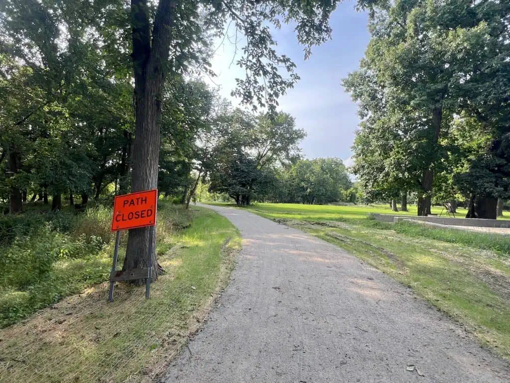
Closer to Robinson Woods, you may still see the old, thin dirt trail running nearby. (Sometimes a sign calls it closed; sometimes it’s just there.)
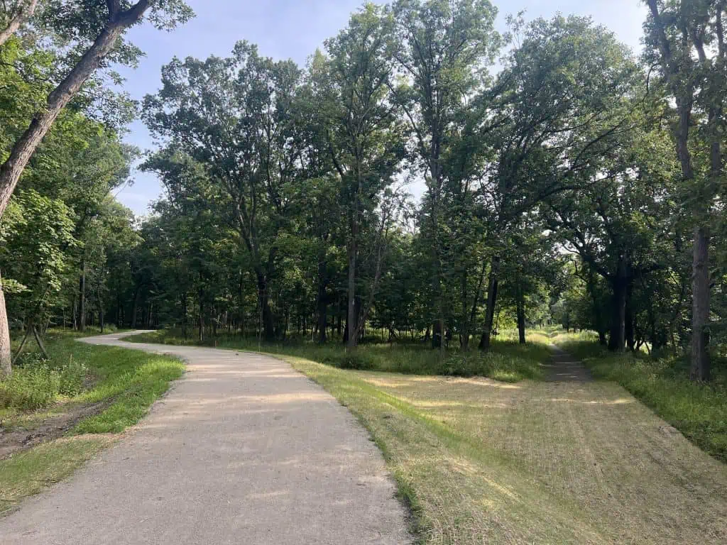
Especially where it’s closer to the river, the new trail still provides the great peaceful forest setting, meandering around tall trees.
There’s even a canopy over part of the new boardwalk.
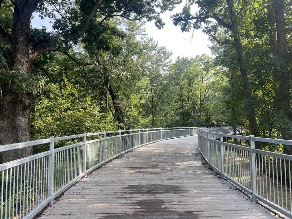
Speaking of, the boardwalk has been made to last, copying the bridge and other boardwalks built on the Des Plaines River Trail and elsewhere.
It has metal rails and, I believe, precast concrete planks — and they seem smoother than those installed last fall on the new bridge in Streamwood.
Well north, the 5-year capital plan mentions a proposed bridge for the river trail over the Union Pacific railroad tracks between Golf and Central roads near Des Plaines. That would keep people from riding up to and walking over the tracks. But construction is not listed until “2027-28.”
The Cook County forest preserve district has a web page about all the Des Plaines River Trail improvements. Reneé Lee Greco made a video showing more of the Lawrence-to-Irving Park work, including the drainage measures.
Lake County flooding
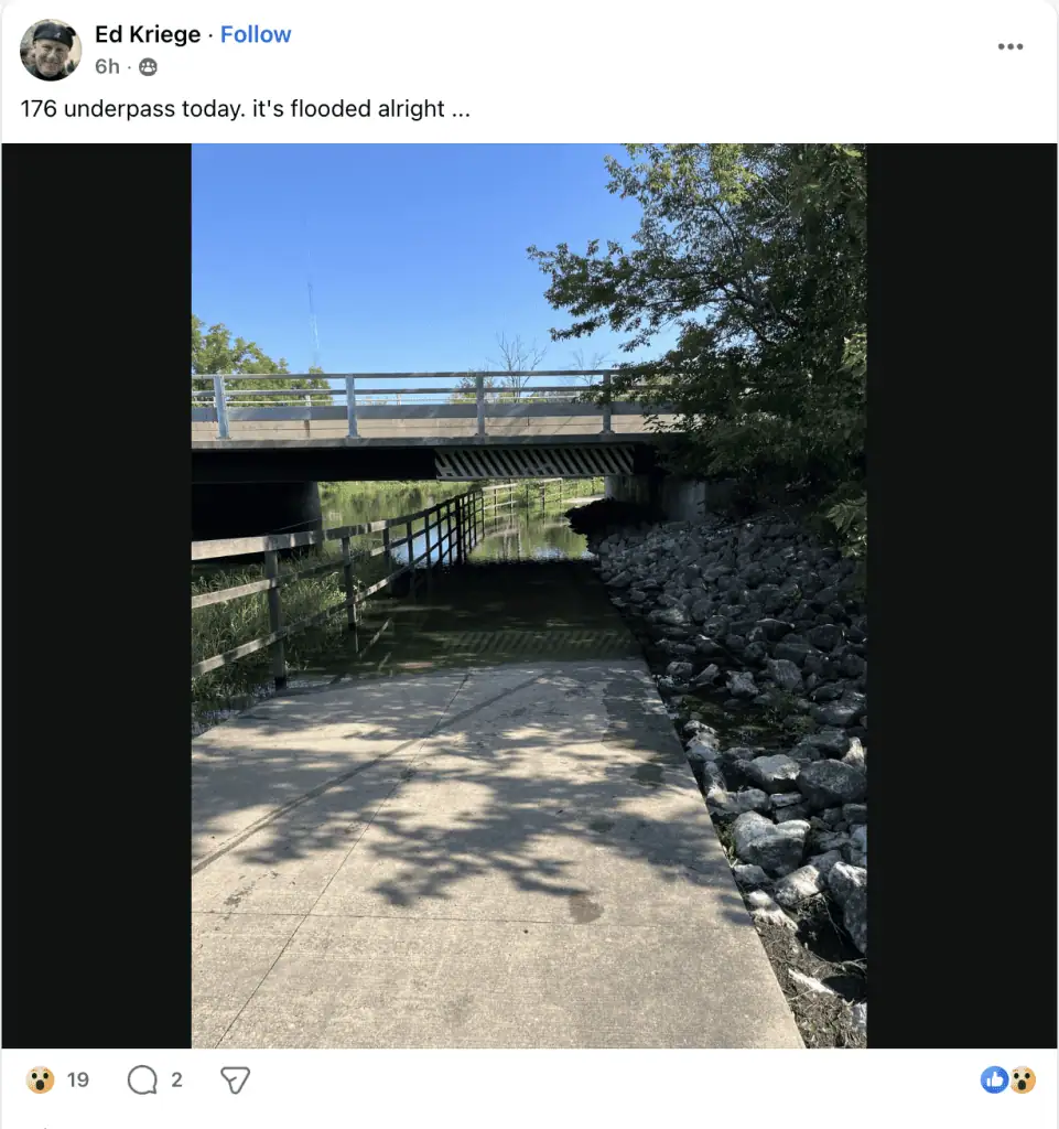
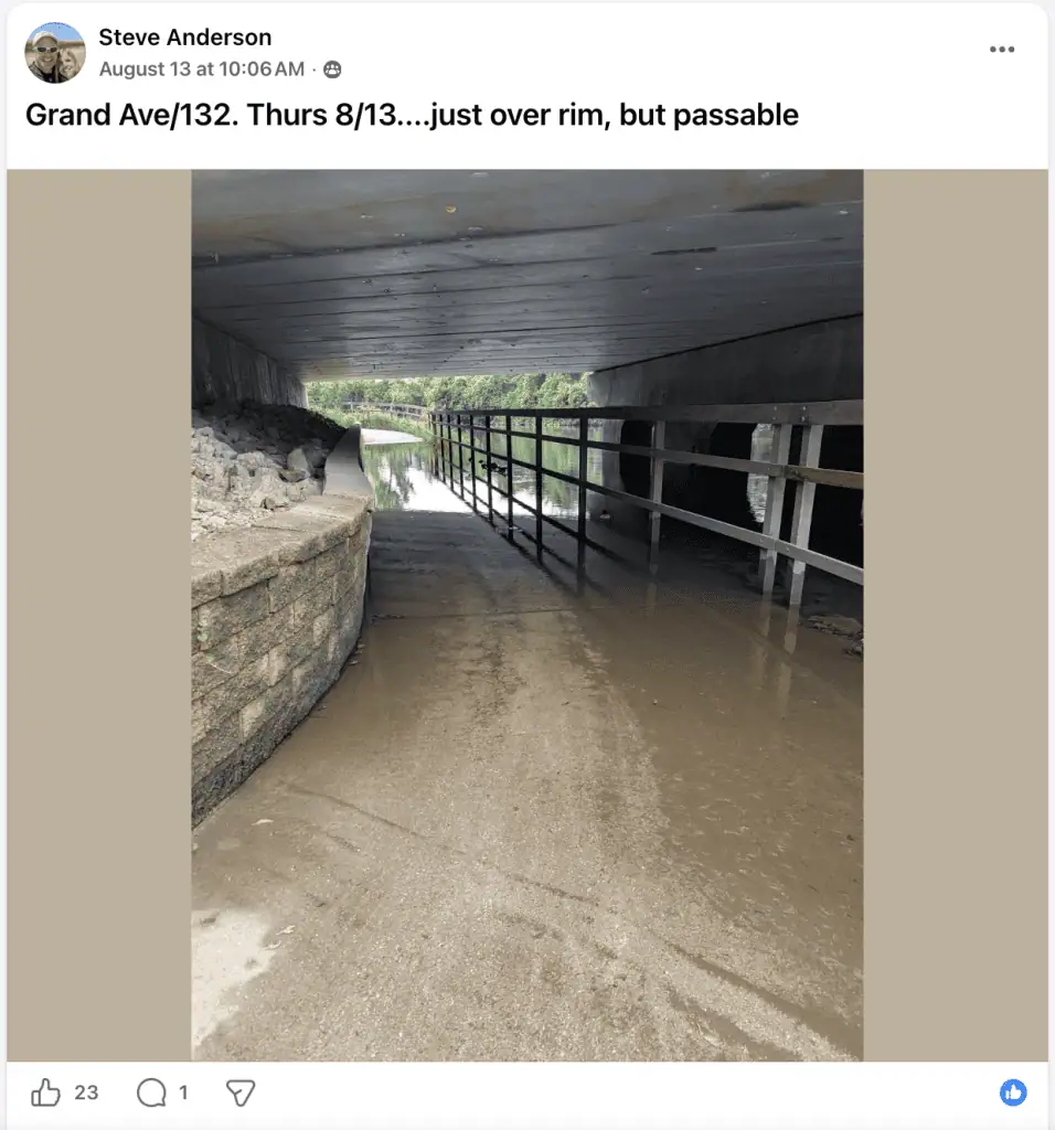
The best reports of flooding, mostly at underpasses, on the Lake County side of the Des Plaines River Trail come from riders themselves.
They’re posting their observations and pictures on the Des Plaines River Trail (DPRT) Riders Facebook group.
One reason the Des Plaines River Trail in Lake County is such an excellent trail, good for all kinds of riders, is it doesn’t require rider to cross very many streets. Underpasses help riders avoid dealing with major east-west Lake County roads, such as routes 120, 132, 176 …
But these underpasses run right along the Des Plaines River. So the risk is that, if it rains a lot, the river rises and spills onto the underpasses.
Sometimes the water is passable, sometimes it isn’t. And sometimes, especially in the late winter and early spring, it’s just a muddy mess.
The DPRT riders provide their opinions.
It’s unusual for flooding to happen during the summer, but this summer is thwarting the pattern, and DPRT riders are constantly on the lookout for underpass closure information.
The Lake County Division of Transportation provides some guidance. As DPRT rider Elliot Rossen posted: “Current DPRT trail conditions can be found here–click on the red dots on the map to see what’s closed: https://www.lcfpd.org/preserves/closures-prescribed-burns/.”
Rossen and other riders point out that the county plays it safe with its notations, possibly indicating a closed underpass even with the slightest water.
Indeed, the pop-up information that arises from red dots don’t say why the trail may be closed at a certain point. But where they cross major routes, you can guess it’s because of flooding.
The information is a start, I suppose, and then you can take your chances.
• Do you find information like this valuable? This free website is made possible almost entirely by readers like you. Consider donating to help defray the costs of gathering and presenting this material.