NBC 5 Chicago this week aired a piece about all the money spent over decades studying a north extension of Route 53 through Lake County — a proposal that died in 2019. It landed on a figure of nearly $87 million.
It’s unclear what prompted “NBC 5 Investigates” to revisit the issue. It reported the very same figures in a 2019 piece. Local publications including the Daily Herald and Chicago Tribune have run articles on the studies and spending repeatedly. The Tribune, by the way, reported that the Route 53 extension would have cost $2.65 billion.
This week’s report touched only briefly on what’s happened since 2019: The state is making some moves to seriously look at turning the corridor of land bought for the Route 53 extension into a greenway, complete with a 12-mile trail. It’s an idea suggested since at least 2016, and we know new trail systems don’t get built easily.
But advocates of the greenway got particularly excited last year, starting in February, when Gov. J.B. Pritzker’s proposed budget allocated $1 million to start the planning process for the greenway. As the Daily Herald reported at the time, the money was included in the Illinois Department of Natural Resources’ recommended budget, but there was no mention of what the allocation would entail. Later, the official fiscal year budget that started last July 1 said the money was for “developing a land-use master plan for Route 53 expansion land,” the Herald reported.
That move came after the final report in December 2022 by the Illinois Route 53 Expansion Land Alternative Use Task Force, composed of leaders from the state legislature, state agencies, Lake County board, suburbs through which the land bisects, local environmental groups, and Visit Lake County. The task force advocated for the creation of the greenway and the transfer of the land from the Illinois Department of Transportation to the Illinois Department of Natural Resources.
But it did so with some considerable detail.
What’s in the recommendation
So what’s in the task force’s final report? (PDF here) First of all, you’ll find a good multi-page satellite-view map of the land in question. You can see precisely which towns and which roads the corridor traverses. It’ll give you a good idea of the mostly north-south path a 12-mile trail would take through the middle of the county. And it’s clear that the trail would or could connect to the Des Plaines River Trail, the Millennium Trail and other trails.
But the report suggests a lot more for the greenway.
Bike sharing: The report suggests that bike sharing stations, like those seen in Chicago and countless other cities, could be placed throughout the greenway.
Bike repair stations: They’re increasing in suburban trail systems now; that could continue within the greenway.
Transportation hub (one or more): Residents could also benefit from improved public transportation by way of hubs that would include Metra enhancements, modern bus shelters, car charging stations, and of course, bike parking and even bike rentals.
Separated bike lanes on existing roads: While work on the greenway would be done, why not also improve intersecting roads with safe-bicycling options?
Bus express lanes: Adding lanes devoted just to buses also was suggested.

Grade separations where the greenway crosses roads: Talking about not only bridges or underpasses at rail lines but also land bridges or underpasses that would benefit wildlife.
Economic development: The report suggests the greenway could encourage new restaurants and cafes, bike shops, hotels, camping, outdoor equipment stores, horse stables with rentals, and connections to local attractions, events and festivals.
Fiber optic cable: The report suggests that the installation and leasing of fiber optic cable under the corridor could help offset costs at the rate of “millions per year.”
Environmental benefits: Of course the report also highlights environmental benefits for wetlands, forests, prairie, wildlife and people. It even suggests a bee highway.
The report points out other success stories of land or railroad conversions, like the Old Plank Trail in southern suburbs, the Bloomingdale 606 trail in Chicago, and the Route 66 trail in the works through Illinois.
What is happening now?
So did the transfer of land from IDOT to the Department of Natural Resources happen? In the Daily Herald report last June, IDOT spokeswoman Maria Castaneda said the agency “looks forward to continuing the work with IDNR and our local partners to determine next steps regarding any transfer of land.” When NBC 5 asked IDOT about it for its report this week, it got a statement: “IDOT looks forward to continuing the work with IDNR and our local partners to determine next steps regarding any transfer of land.” OK, then.
Indeed, while the greenway project has widespread support including an online petition, there’s still some concern. The Lake County Transportation Alliance still would like solutions to traffic problems, the Herald reported. The paper also heard from lawmakers who would like IDOT to get at least some money back for all the Route 53 studies.
By the way, the task force’s final report did not mention any possible cost of developing the greenway. It said that it didn’t have time before the report’s deadline to get into what exact amenities and facilities could be built and the costs to build them.
Meanwhile, there’s been no news from the Department of Natural Resources. Its website shows only the page about the Route 53 alternative use task force, with no mention of the $1 million to study the greenway. The Greenways and Trail Council page shows no real activity since 2022. And nothing in Lake County is on the department’s project list. I have an email in to the department asking if any study has been started.
So we eagerly await to see if this greenway can get developed in our lifetimes.
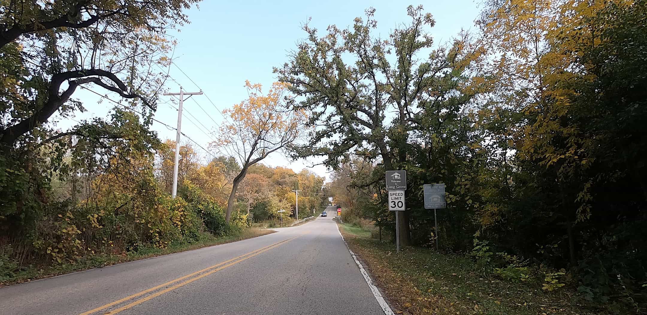
- At the top, Long Grove Road heads east into its namesake suburb, through which the land set aside for the Route 53 extension and now possibly a greenway traverses.
Like this? Please consider a donation

Thanks Neil for the many possible amenities that would make this a not miss ride. I have often thought Lake county could become a centerpiece of a trail from Cairo to Antioch. Cairo to Joliet could be very interesting. Joliet to Antioch could begin with an East Branch Trail to Busse Woods then north on a Wilke/Kennicott lane to the 53 r.o.w. to Mundelein then up some roads and lanes. Hey south to the Gulf of Mexico and north to the Hudson Bay. Watch out for alligators and polar bears. When I saw this story on T.V I tried to reach Bennet to ask him to finish the story with the many possibilities you have listed but NBC had no way I could find to send him a note. Good story, we can only dream and hope.