I heard at the Illinois Bike & Walk Summit in Springfield this month that a much-needed renovation of another major portion of the Des Plaines River Trail in Cook County — between Lawrence Avenue and Irving Park Road — could be complete by the end of this year. Is it really true?
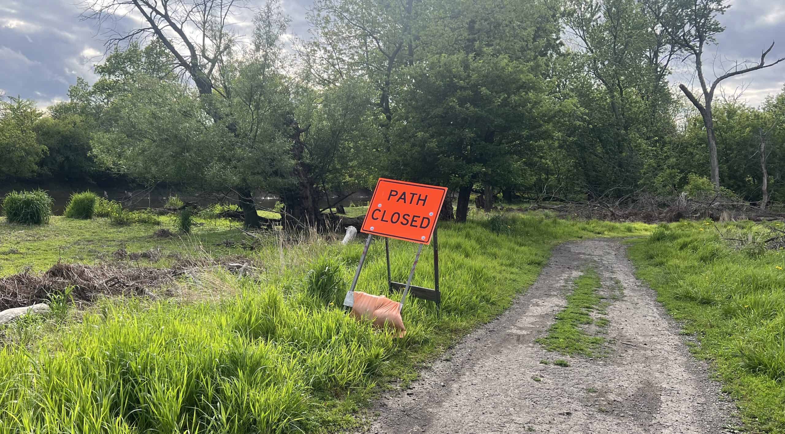
The many DPRT riders have been filing status reports about the rerouting happening now just north of Irving Park Road. I decided to finally have a look myself — and the segment from Irving Park north to basically Robinson Woods is officially closed, per several orange “Path Closed” signs.
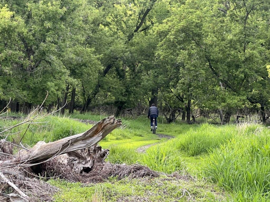
You could still get around the river trail with some effort, but I found many felled trees blocking the path, or others on the side of the path. Yet somehow little alternative, muddy trails seemed to be cut by hikers and bicyclists coming through anyway, if not formally by work crews.
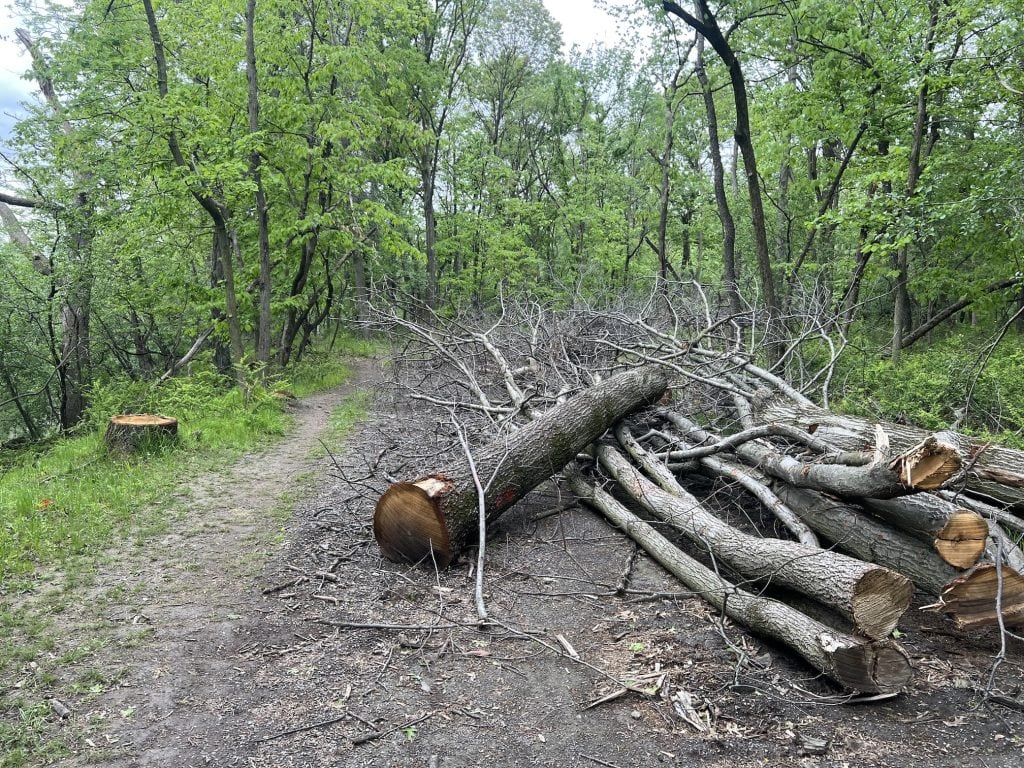
The crews are actually working on a new, permanent alternative to shift the river trail away from frequently flooding areas, as laid out in longtime plans for this segment of the trail. The plans are part of a larger construction phase stretching more than 10 miles from North Avenue to Touhy Avenue. The work near Irving Park Road would complete this phase’s 5.4-mile “North Section,” a phase that’s been scheduled to be done in 2023, 2024 and 2025. A Cook County forest preserve web page outlines all the plans if not the timeline, which I saw at the summit.

A planner reiterated at the bike summit that the North Section work is indeed expected to be finished this year. It seems hard to believe now, given the mess north of Irving Park Road.
Big work already done
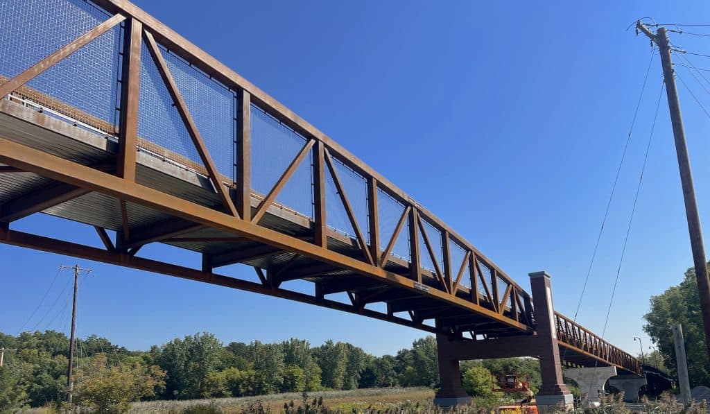
It’s true, however, that a lot of major improvements have already been put in place in the North Section over the past few years. Most obvious to even casual observers is the bike-pedestrian bridge over Lawrence Avenue. That comes off a 1,000-foot boardwalk deeper in the forest that replaces a section of the trail that had frequently flooded.
Otherwise, a lot of improvements to existing trail were made, like “standardizing the width and texture” between Touhy and Devon Avenue. Then rerouting included a shift away from the mid-block Touhy Avenue crossing to the intersection with Talcott Road so riders can cross at the traffic light there, and a new at-grade crossing at Devon and Dee Road. Visibility was improved at other crossings, like at Higgins and Dee roads, and Bryn Mawr Avenue and Higgins. The stone surface of the bridge over I-90 was replaced with asphalt.

Now comes the rerouting away from flooding areas between Lawrence Avenue and Irving Park Road. The plans don’t appear to yet include a bridge over Irving Park Road, or even moving the dangerous crossing at Irving Park a little west to the intersection with Des Plaines River Road, but both of those improvements are shown as “proposed” even on the map showing the plans. (You can scroll the map below.) Plus, a May 21 announcement of new state funding for local infrastructure projects included the DPRT from Irving Park Road south to Fullerton Avenue (part of the South Section, below), with a mention of “eliminating an uncontrolled mid-block crossing.”
The South Section
Once the North Section is done, then comes work on the South Section, 4.9 miles from Irving Park Road to North Avenue. A planner indicated at the bike summit that “design approval is anticipated” this summer. Moving the trail out of flooded areas again is a chief concern, even more than in the North Section. An “expensive six- to eight-foot elevated boardwalk” was among three options considered, the forest preserve web page says.
But the selected option is rerouting the trail closer to Cumberland Avenue between Irving Park Road and Forest Preserve Drive. After that, the map suggests more shifting of the trail a little more off the river.
Extending the DPRT south
Yet more work could be coming. Quoting from the web page: “The study area was extended roughly three miles south of North Avenue to consider alternatives for connecting the Des Plaines River Trail to the Illinois Prairie Path at Madison Street in Forest Park. Additional funding is needed to complete the study for these additional miles, but the preliminary alignment is for an on-street bike route along Thatcher Avenue in River Forest.”
And then there’s the “South Extension Planning Study” to address a 6.5-mile gap extending from North Avenue to Ogden Avenue, where another 1.3 miles of the DPRT runs in Lyons. Closing the gap would also ultimately connect the Illinois Prairie Path and the Salt Creek Greenway Trail. The county says a first study focused on the southernmost segment of the gap between 26th Street and Ogden, but hyperlinks online to the actual study are now broken.
Those railroad tracks by Golf Road
Finally, back up north, there’s the question of those railroad tracks that riders must cross north of Golf Road and south of Central Road (though they’re advised not to). “To close this trail gap, the Forest Preserves will realign the trail and construct a bridge over the railroad tracks,” the forest preserve web page says. As for the status? “As of April 2024, the project is in engineering design, which involves preparing the construction documents. Construction is expected to be completed at a later date following IDOT’s approval of the project plans and the finalization of the local funding agreement.”
Overall, Franklin Park Mayor Barrett Pedersen has been credited with organizing the myriad municipalities and agencies to improve all of the Des Plaines River Trail in Cook County. The county forest preserve on its web page outlines who’s working on what, with what funding — and major cross streets are under IDOT jurisdiction. So a lot is having to be negotiated to get all the improvements done.

Was this valuable to you? Please consider a donation to help keep the material on this website coming and posted.