First published in January 2025. Salt Creek Greenway Trail expanded July 12, 2026. Thorn Creek and Cal-Sag trails added, Tinley Creek Trail expanded, a couple of Will County trails added to list at the end in March-April 2026.
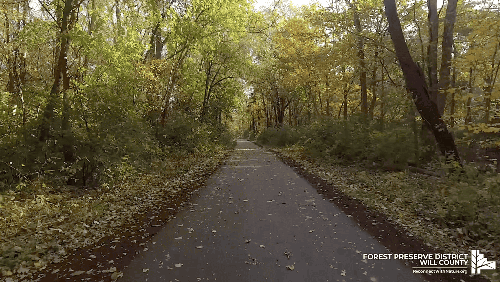
The Chicago area is full of bike trails, including and especially out in the suburbs. They’re paved or gravel or rocky or dirt.
Some are safer than others. There are trails isolated within forest preserves (and even subdivisions), others connect preserves, and still others traverse whole counties. The Trails section of the website dives deeper into particular trails, but here we start with what I would call the basics. It’s not an all-inclusive list, but these certainly could provide great rides near you.
Busse Woods
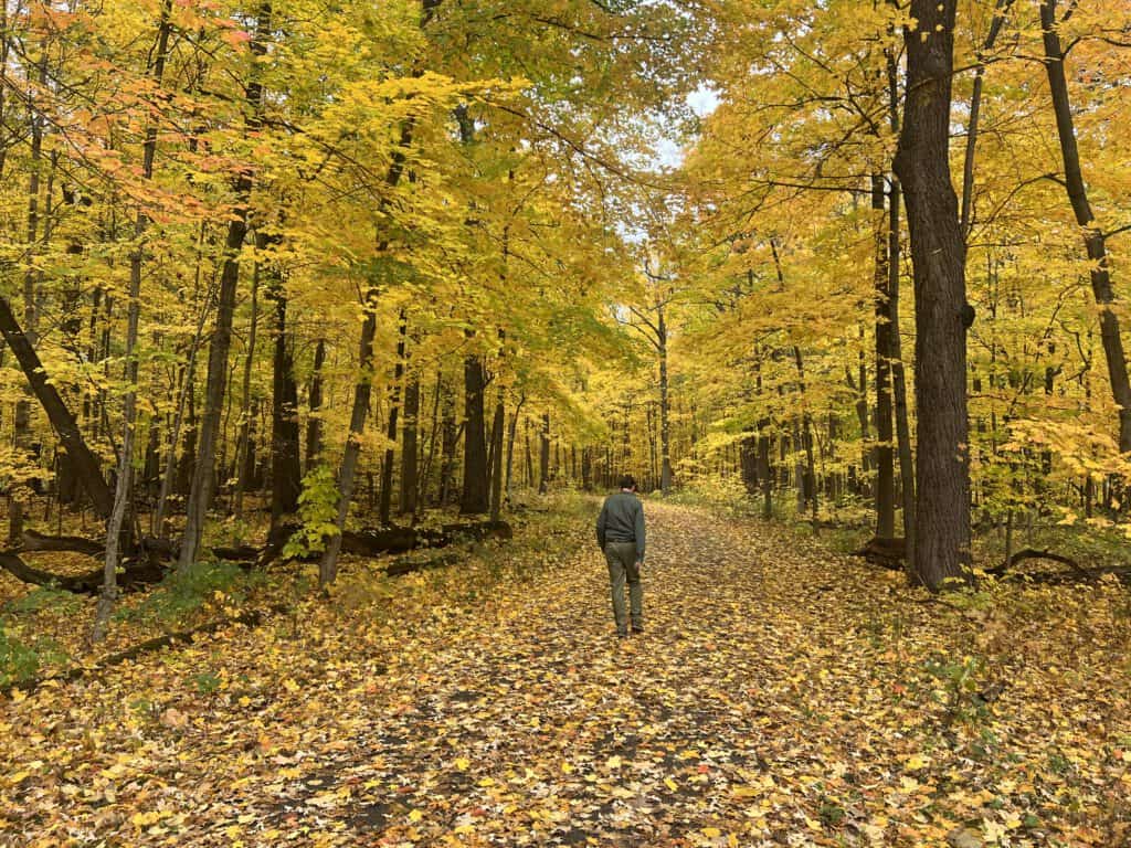
This is my go-to trail because I live in the Northwest suburbs and it’s handily near me east of Schaumburg. It features a 7.25-mile paved loop with zero traffic crossings as a result of bridges on both the east and west ends over Higgins Road. (After many years of demand, the west bridge was finally installed after a rider was killed crossing Higgins Road.) There are also offshoots toward Golf Road east to Wilke Road, or near Arlington Heights Road into Elk Grove Village, including the beginning of the Salt Creek Greenway Trail.
Great for casual bicyclists and families: With lovely forest and small-lake views throughout, it’s a great place to lose yourself for a little bit. But it’s not ideal on the weekends if you’re a faster cyclist, because of pedestrian and slower traffic; it’s a very popular trail. It’s also a little beat up, but the county is eyeing improvements. More from the Forest Preserves of Cook County.
Des Plaines River Trail
You could almost call this two trails, one in Lake County and one in Cook County. The Lake County side is nicer, prettier and safer, while Cook County is working on its side.
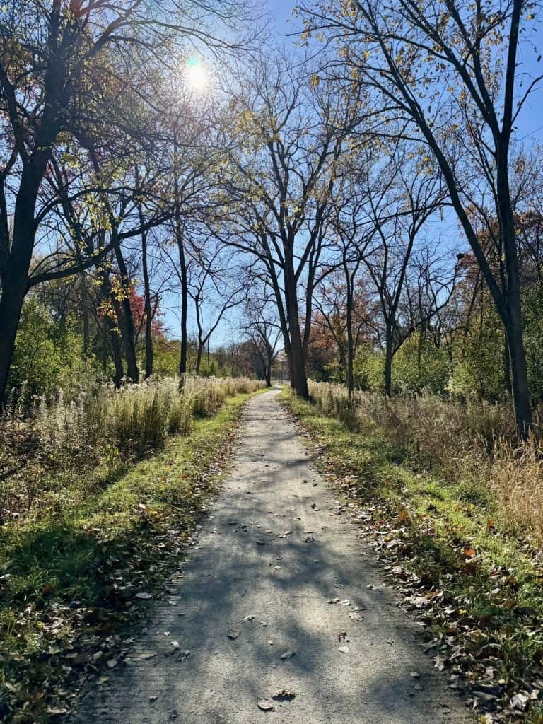
The Lake County side is 31 miles of smooth crushed limestone from Lake-Cook Road north to Russell Road just short of the Wisconsin border. The majority of it goes through forest, but you’ll also find yourself rolling through pretty prairie. And sometimes you’ll even see the river. The farther north you go, the more spacious the area. Traffic crossings are few, and entry points along the way are plentiful. It’s a beautiful ride and great for casual bicyclists and families as well as serious cyclists. More on it from the Lake County Forest Preserves.
The Cook County side is rougher and better for serious cyclists, OK for casual bicyclists at least in part. It’s much improved around the city of Des Plaines, incidentally, thanks to newly paved sections of the trail and improvements within the forest, especially the long bridges going south ultimately over Lawrence Avenue to about Robinson Woods. But soon the riding is more difficult. The trail is rockier and bumpier, and there are dangerous street crossings like at Irving Park Road. Plans are in the works to improve that. North of Des Plaines, you have to cross railroad tracks (really, you should go around onto a city sidewalk briefly), and the gravel is certainly not crushed. But a bridge does take you over to the Lake County side. The Cook County side is about 20 miles in all.
Fox River Trail/McHenry County Prairie Trail
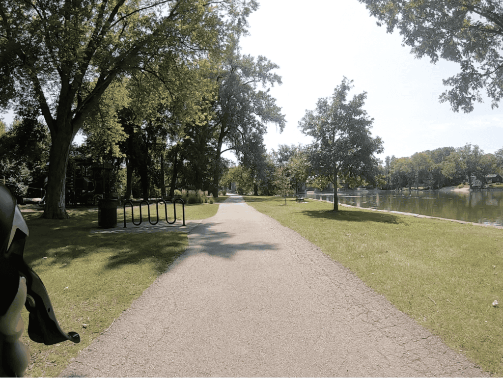
The remarkable Fox River Trail is more than 40 miles long, mostly paved, from Montgomery on the south to Carpentersville on the north, and this one really does roll right along the river the vast majority of the time, on both sides in spots. You’ll go through the downtowns of the Tri-Cities (Batavia, Geneva, St. Charles) as well as the big cities of Aurora and Elgin, but you’ll encounter many miles of peaceful forest, too.
After Carpentersville, the trail blends seamlessly into the Prairie Trail of McHenry County. On these 26 miles, you move off the river but get some nice McHenry County landscapes. 18 miles of it is paved, rougher up north, before it turns into gravel for the final 8 miles up to the Wisconsin border. There are offshoots to Woodstock (7.5 miles) and Hebron (5 miles). The McHenry County Conservation District has a handy brochure.
Both trails are best for casual bicyclists, not bad for serious cyclists; it’s OK for families in most spots, but they must be cautious in downtown areas.
Illinois Prairie Path
The Prairie Path’s nonprofit organization says the path stretches 61 miles (!) within DuPage, Cook and Kane counties. The country’s rails-to-trails effort began here. The paths are mostly crushed limestone, and there are many traffic crossings to deal with; some have been made safe or safer, and some have not. That makes the system best for casual bicyclists and serious cyclists, and OK for families with extra caution or targeted riding.
The Prairie Path is really DuPage-based, and besides a Main Stem between Maywood on the east and Wheaton on the west, there are Elgin and Aurora branches, and Geneva and Batavia spurs, all of which connect with the Fox River Trail.
The Main Stem remarkably weaves through the hearts of tree-lined Glen Ellyn, Wheaton, Lombard, Villa Park and Elmhurst. The Elgin Branch heads northwest through Winfield, the scenic Timber Ridge Forest Preserve and lovely Wayne.
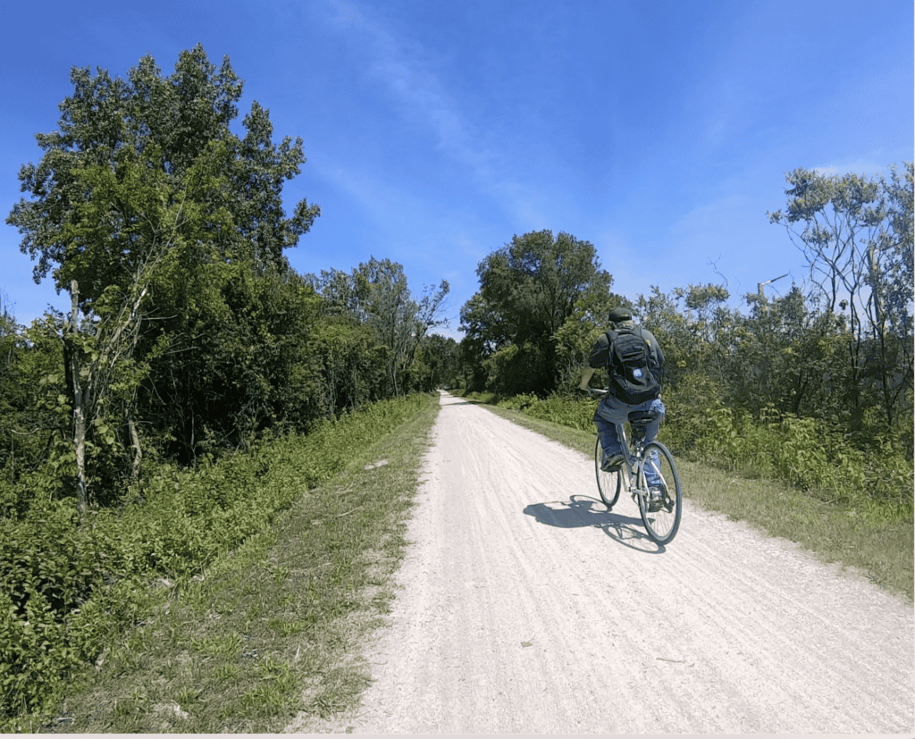
The Geneva Spur runs west through Winfield Mounds, West Chicago and the West Chicago Prairie Forest Preserve, then along the side of the DuPage Airport before reaching Geneva. The Batavia Spur comes off the Prairie Path southwest of Warrenville and barely enters Naperville’s city limit, running west along I-88 for a bit before it heads northwest past the edge of the Fermilab campus to Batavia.
And the Aurora Branch continues the Prairie’s Path southwest stretch deeper into northwest Naperville before heading into Aurora and reaching the Fox River Trail there. With all this, you could basically make about a 40-mile triangle with Wheaton, Aurora and Elgin at the corners and using the Fox River Trail on the west end, or ride a smaller triangle using a spur. You can use the Great Western Trail near the north and east segments of the Prairie Path for even more miles.
Great Western Trail
The western section of the Great Western Trail in Kane and DeKalb counties, nearly 19 miles of crushed limestone west out of St. Charles, is where this one started. That section goes all the way to Sycamore, which added a small section in 2021 and will be adding another small section to a park in 2026. An eastern section from West Chicago east through Wheaton, Glen Ellyn, Lombard and Villa Park followed in the 1980s. This about 14-mile, also crushed limestone rail-to-trail in DuPage County is almost a companion to the Illinois Prairie Path. Again, both sections are best for casual bicyclists and serious cyclists; it’s OK for families, but be careful of the traffic crossings. The Friends of the Great Western Trail help maintain it.
Millennium Trail
Lake County has been working on this trail mostly through the west side of the county for years. The forest preserve district says it has 33 miles of it done out of 41 planned, with both limestone and paved portions. Its base is in the Lakewood Forest Preserve near Wauconda. The largest section goes northwest into Volo and around northeast toward the Round Lakes. Also from Lakewood is a section that goes northeast, connecting to the county’s Fort Hill Trail and lovely Ray Lake preserve, as well as a section that goes east into Mundelein. It’s best for casual bicyclists and serious cyclists; it’s maybe OK for families but be careful at crossings.
Deer Grove Trail

There are about 15 miles of trails in Deer Grove, Cook County’s first forest preserve. It’s a mix of unpaved and paved trails, with Quentin Road in Palatine bisecting the preserve into West and East (and creating a slightly dangerous crossing). Both about a 3-mile paved loop and a 3-mile unpaved loop are in the east preserve — the side with scenic, wider open prairie and grasslands — while a 5.4-mile rougher gravel loop circumnavigates the west, more forested preserve; another 1.5-mile gravel trail (really an old forest road) cuts through the middle of the west side. The short lengths along with its long history make Deer Grove a staple for casual bicyclists and families. See a fuller report on Deer Grove.
Poplar Creek Trail

Residents of Hoffman Estates, Schaumburg, Streamwood and Hanover Park all have easy access to this 9-mile paved loop within a Cook County forest preserve. You’ll see forested and prairie sections, and there are a couple of hills on the south half that are not huge but still surprising on a Cook County trail. It’s best for casual bicyclists, not bad for serious cyclists. You’ll also sometimes cross busy streets, including Route 59, Bartlett Road and Golf Road, so this trail is better when it’s not rush hour and a little dicey overall for families. The more exposed north half of the trail has a lot more cracks, creating some tha-thunk riding that could use attention. Read more on that.
North Branch Trail
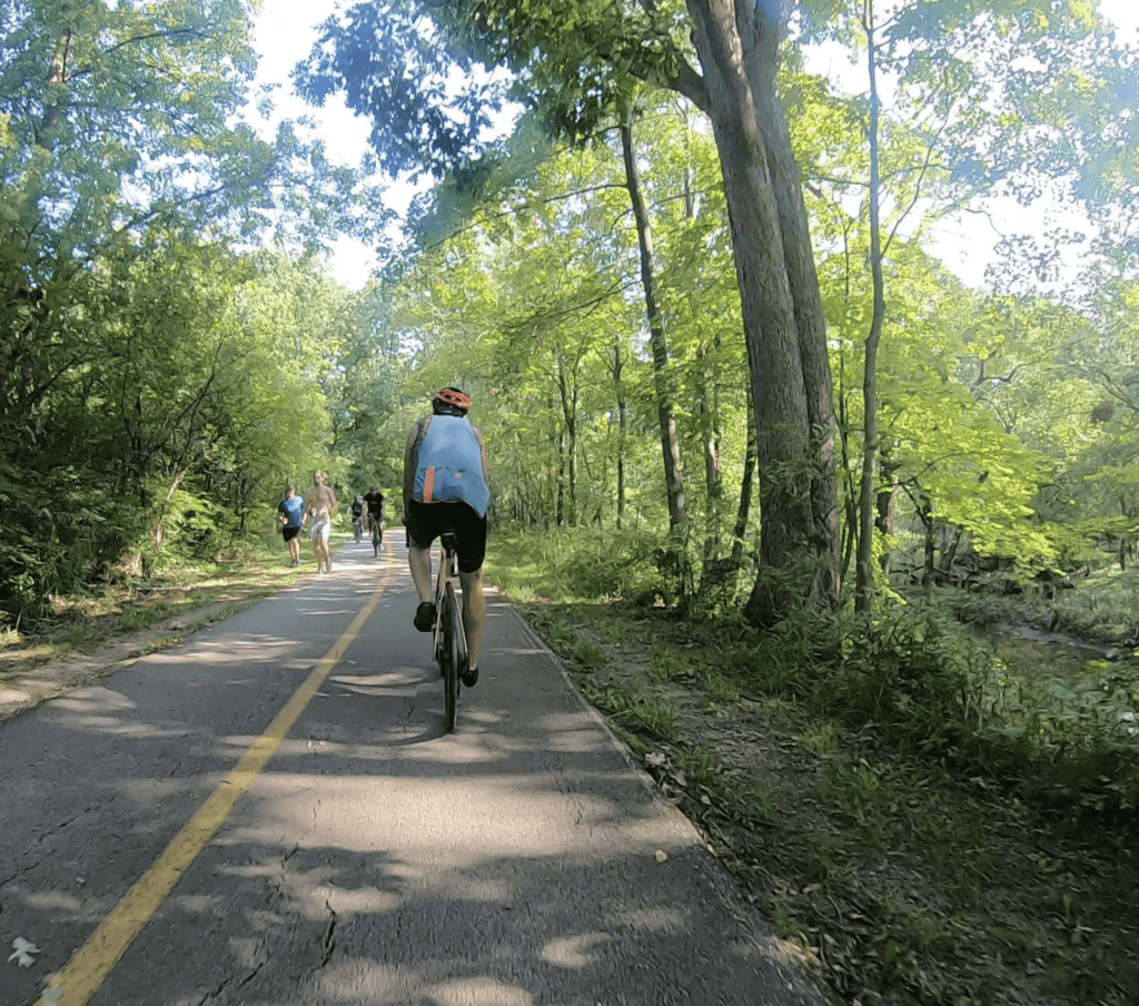
This is the one that started it all for me, when I was a boy and my father took me and my sister to it. It’s 20 miles paved (16 miles plus about a 4-mile loop on the north end) from the LaBagh Woods forest preserve off Foster and Kostner avenues on Chicago’s Northwest Side north to the Chicago Botanic Garden in Glencoe.
So you go through the northern edge of the city and cross or pass several suburbs — Niles, Morton Grove, Skokie, Glenview, Northfield, Northbrook — right to the Lake-Cook county border. It’s best for casual bicyclists, OK for serious cyclists and families. You’ll cross a lot of city-style intersections (with traffic lights’ help) on the south end before it loosens up in the north suburbs. It’s a popular trail, too, so it’s plenty busy especially on the weekends. Read more about the North Branch.
Old Plank Road Trail
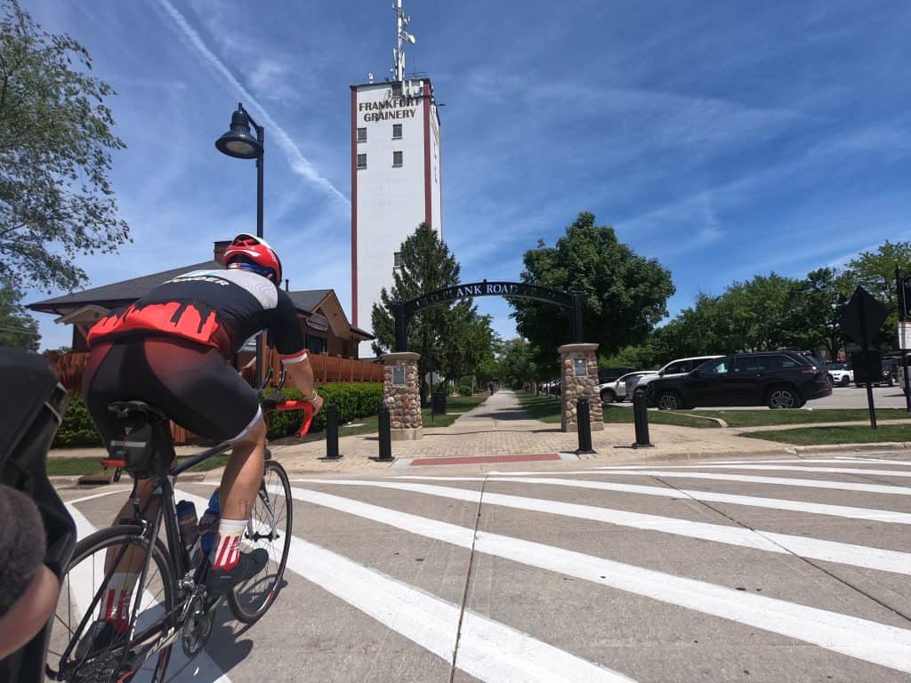
The Old Plank Road Trail has become a classic path through south suburbs, with quite a history as a rail-to-trail, and before that as a plank road that never was. It’s 22 miles paved from Joliet east through New Lenox, Frankfort, Matteson, Park Forest and Chicago Heights.
While it is a popular trail that’s good for casual bicyclists and serious cyclists, it also brings worry and caution with all the street crossings — particularly at Wolf Road, where safety measures really are needed, as well as Cicero Avenue. That makes it only OK for families. The trail has its share of cracks and bumps on the eastern 8 miles, the Cook County section. But the western 7 miles were gloriously repaved in 2025, and there’s a good 7 miles of smooth trail (repaved in 2022) between Frankfort and Matteson; those 14 miles constitute the Will County section.
Offshoot trails include the Hickory Creek Bikeways west of Frankfort, and the Old Plank connects to the Thorn Creek Trail through several forest preserves north of Glenwood and Lynwood. An extension of the Old Plank is planned to connect to the Pennsy Greenway and other trails in Schererville, Indiana. Read the full report on the trail.
Thorn Creek Trail

The unassuming but significant Thorn Creek Trail system is in the southeast corner of Cook County, running through Park Forest, Chicago Heights, South Chicago Heights and Glenwood up to Lansing, nearly to the Indiana border. It’s 18.5 miles of paved and 3 miles of unpaved trails. Part of the system is a lovely 3.5-mile loop around the Sauk Trail Woods. Just north of that loop, Thorn Creek connects to the eastern end of the Old Plank Road Trail in Chicago Heights.
The bulk of the Thorn Creek Trail runs north from that Old Plank Road terminus through Chicago Heights and into Glenwood, then largely east through quiet forests. It’s good for casual bicyclists and serious cyclists, and its proximity to neighborhoods makes it good for families, too; intersections with streets are largely small and light, and there are bridges and underpasses. If you want to ride on the major unpaved trail, you could make a loop on the northeast end — sort of. Read the full report.
Paul Douglas Trail

The Paul Douglas Trail has become a local favorite of Hoffman Estates and Palatine residents, as it’s just to the north of the Jane Addams Tollway and by Harper College. It has about a 7-mile paved loop in the forest preserve of the same name, and that trail connects to a paved trail extending west along Algonquin Road.
It’s not a bad loop for casual bicyclists and serious cyclists, and maybe families — except it does cross Algonquin Road a few times, the most dangerous at the corner with Roselle Road. A fairly new bridge on the west side of Roselle Road allows safe access to the loop from the south, so riders don’t have to cross Central Road, which now provides tollway access for drivers; a bridge would be handy down the path at Algonquin Road, too.
Within the preserve are another about 17 miles of real mountain bike trails, one of the few sets in the Chicago area of such trails, even if they’re not terribly hilly. The trails were created only a few years ago through the efforts of volunteers in CAMBr, or the Chicago Area Mountain Bikers, working with the Forest Preserve District of Cook County. They’re well-organized with clear signage, which indicates which days you should ride which direction, and riders (and hikers) are encouraged to treat the trails with care — don’t ruin them during muddy times of the year, including the winter. The trails are a new popular hub for serious mountain bikers. An excellent video tour has even been made.
Cal-Sag Trail
The Cal-Sag Trail is touted as a 26-mile trail along the Cal-Sag Channel (full name, Calumet-Saganashkee Channel) through southern Cook County suburbs. But it’s not quite that — yet. It’s really two trail segments, with a rough stretch of road riding in the middle.
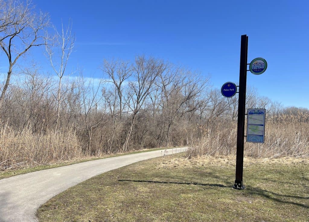
The paved route overseen by the Friends of the Cal-Sag Trail is relatively new; the first segment of any length didn’t open until 2015, after a half-mile stretch opened in 2008. But you can feel the love and care that was put into the trail from the beginning.
The 14-mile western segment, through Palos Park, Palos Heights and Alsip, is almost entirely uninterrupted, making it good for casual bicyclists, serious cyclists and families alike. To get to the east segment, you have to ride some bumpy streets and through an industrial area, then downtown Blue Island; there’s at least a bike lane through that suburb.
The paved eastern segment runs for a few miles before ending at Whistler Woods, where you can pick up the 8-mile Major Taylor Trail that goes into Chicago. There are plans not only to complete the Cal-Sag path through that rough middle section but also to extend the trail east through Riverdale, Dolton, Calumet City and Burnham. See the full report on the Cal-Sag.
Tinley Creek Trail
The Tinley Creek Trail system is a series of paths amid Palos Heights, Orland Park, Midlothian, Oak Forest and Tinley Park. The main loop is the 9.1-mile “Red” trail. A 1.7-mile “Green (North)” trail links it to a 3.1-mile “Purple” loop to the south off 159th Street. A 2-mile “Blue” trail hooks that up to the Midlothian Meadows preserve and a 3-mile loop. The main loop in particular has some intimidating street crossings, making the system best for casual bicyclists and not so good for families nor so good for serious cyclists, who would ride in fits and starts. Much of the main and purple loops have been recently repaved, while Midlothian Meadows thankfully is slated for repaving in 2026. Read more about the Tinley Creek Trail.
Salt Creek Greenway Trail
The Salt Creek Greenway Trail is kind of a mess of a route that weaves through DuPage and Cook counties. It’s best for casual and serious bicyclists.
The trail runs 25 miles in total from Busse Woods in Cook County to about the Brookfield Zoo, also in Cook County, with the long DuPage segment in the middle. It falls under several governments’ purview, as the DuPage County map shows below; that makes the trail inconsistent. It sometimes runs on roads or alongside them; it goes through neighborhoods and along major retail and business areas, such as in Itasca, Wood Dale and Oak Brook.
But it also offers peaceful riding through several forest preserves, like Cricket Creek, Bemis Woods and Salt Creek Woods. You may actually even see Salt Creek sometimes.
Thankfully there have been big improvements in Wood Dale. Plus after a few years of being interrupted by Tri-State Tollway reconstruction, the Salt Creek Trail is repaved with a new underpass between Oak Brook and Bemis Woods.
Others to get to
- West Branch DuPage River Trail, about 26 miles both limestone and paved mostly along, of course, the DuPage River, but on the north end it weaves west through forest preserves, and indeed there’s one connection still to be made (at not an insignificant cost); construction began on it in 2026. The south end is a key trail through Naperville; it almost feels like a different trail there.
- Southern DuPage County Regional Trail, a 49-mile system from Hinsdale to Aurora. “By and large, the SDRT is a regional series of sidepaths beside County and township roads that connect downtowns, picturesque neighborhoods, and large tracts of forest preserves along its route,” the forest preserve district says. Significant stretches are on-street routes through a few suburbs.
- Palos Trail System: The system of 42 miles of trails in the forest preserves west of Justice, Hickory Hills, Palos Hills and Palos Park are a hub for mountain bikers, complete not just with unpaved trails but also single track; see the online map.
- Centennial Trail, about 12.5 miles in south Cook County, around Lemont and Willow Springs, and Will County. Paved and straight.
- The Centennial connects to the east end of the I&M Canal Trail, which totals 61 miles south and west of the region. Mostly crushed limestone and straight, though the about 4 miles on the east end is smooth pavement and lovely. Other trails are connected to the I&M, like the Cal-Sag Trail and Wauponsee Glacial Trail.
- The Wauponsee Glacial Trail in Will County is a 22.3-mile linear trail consisting of two segments. The northern, paved segment travels 2.8 miles from Sugar Creek Preserve north to Rowell Avenue in Joliet. The southern segment is crushed limestone for 19.5 miles from Sugar Creek Preserve south to the Kankakee River. It’s said to be good for bison viewing.
- The paved Rock Run Greenway Trail travels 11.3 miles from Crest Hill south through Joliet.
- Spring Creek Greenway in Will County between Joliet and Homer Glen, 8.5 miles in two segments. The western segment is a hilly, crushed limestone loop and linear trail of 5.1 miles through the woodland, savanna and wetland of Hadley Valley. The eastern segment is a hilly, crushed limestone loop and linear trail of 3.4 miles through the woodland and savanna of Messenger Marsh.
- Major Taylor Trail, 8.3 miles from Dan Ryan Woods south to Whistler Woods. It includes paved, off-street paved and on-street segments.
Finally, here’s another rider’s neat quick compilation of trail-riding through south suburbs.
Compiling and updating this information takes time and a little money. If it’s helpful to you, please consider a donation. Thank you for reading!

This is an excellent resource for casual bikers like me. In fact, I just bookmarked the page. Thanks!
I’m so glad it’s helpful.
Every once in a while, I come across an article on a trail following the perimeter of the city of Chicago in the form of a circle (oblate rectangle). Is there a course for this trail on Ride with GPS?
Hmmm, I don’t know what this would be. I can only imagine this would be a collection of a few trails.
OkCarl: I’m hearing more about this perimeter concept. One is the “OuterBelt Trail,” which is aimed at hiking and is really a collection of Chicago-area trails and roads. https://outerbelt.org/
There’s also the Grand Illinois Trail that includes a kind of Chicago-area loop ( https://rideillinois.org/maps/grand-illinois-trail-guide/). The perimeters in both cases, though, are not on the Chicago city limits but around the whole region.