I decided to drive for a business trip to Atlanta, which means I could bring the bike, and quickly when I got there I pored over the map looking for places to ride.
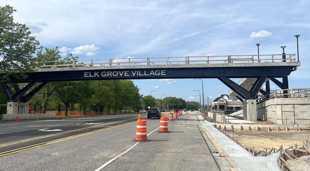
Many people who knew the city referred to the Beltline Greenway. But I could see right away it wasn’t what I was looking for. It’s a 22-mile multi-use loop, emphasis on multi-use, designed to give residents and visitors a good way to see the city and a lot of its attractions.
I’m glad it exists; cities need trails like the Beltline (or Chicago’s Lakefront Trail and The 606). Yet it’s fragmented and busy. I was looking for a longer, more peaceful ride.
Atlanta’s trails to the northeast and northwest were the right call.

The Big Creek Greenway
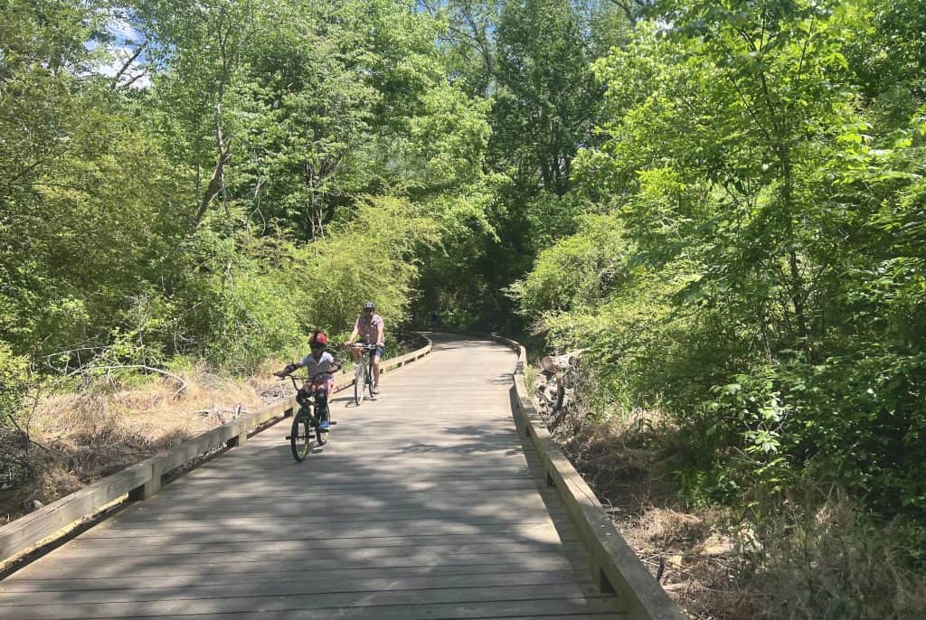
The Big Creek Greenway goes through the Atlanta suburbs of Roswell, Alpharetta and Cumming. It’s about a 25-mile trail of pavement and boardwalks — many boardwalks, and long boardwalks!
They extraordinarily cut through forest and, I suppose, swamps, though it was pretty dry when I rode through it in late April. And the whole path is 12 feet wide. Twelve!
So the greenway offers tremendous scenery, lovely birdsong and, in the spring, great floral scents. Spring happens earlier down south, you know.
The western half of the greenway — you have to ride roads for a half mile or so in Alpharetta between the two halves — is more pavement than boardwalk. That’s good, because the trouble with the boardwalks is they need regular maintenance. I found about a 5-mile eastern segment closed as a result during my trip.
That led to some problems.
Not-so-bike-friendly roads
There was no detour around the boardwalks under construction, so I had to hit the roads. The problem with the roads in Atlanta’s northern suburbs is they’re not really continuous; they quickly curve around to a major road at some point.
And the “smaller” roads are big anyway. They have four lanes and no bike lanes, and small shoulders if the roads even have them.
So the “Share the Roads” signs rang hollow. There wasn’t much room for both the cars and truck in the right lane and me on a bike, and the fast drivers weren’t too interested in accommodating me.

I thought it might be better around the Lake Lanier recreation area east of the Big Creek Greenway. Buford Dam Road runs alongside or through much of the southern end of the lake. Again I saw “Share the road” signs. Again, there was no real room for bikes along with cars.
Then there are a couple of steep hills, on which I could barely ride 5 mph. The drivers had to maneuver around me. At least on the biggest downhills I could hit nearly 40 mph.
One particularly scenic section of the road is a curvy bridge over Lake Lanier. But there isn’t finally a bike lane until the eastern end. I got tired of the road and turned back south inland. The roads got slightly more spacious, but traffic was unrelenting. Lots of sprawl in north suburban Atlanta.
The Silver Comet Trail
On my second and third day in the suburbs, I headed toward what I learned is the famous Silver Comet Trail. And it’s famous for a reason.
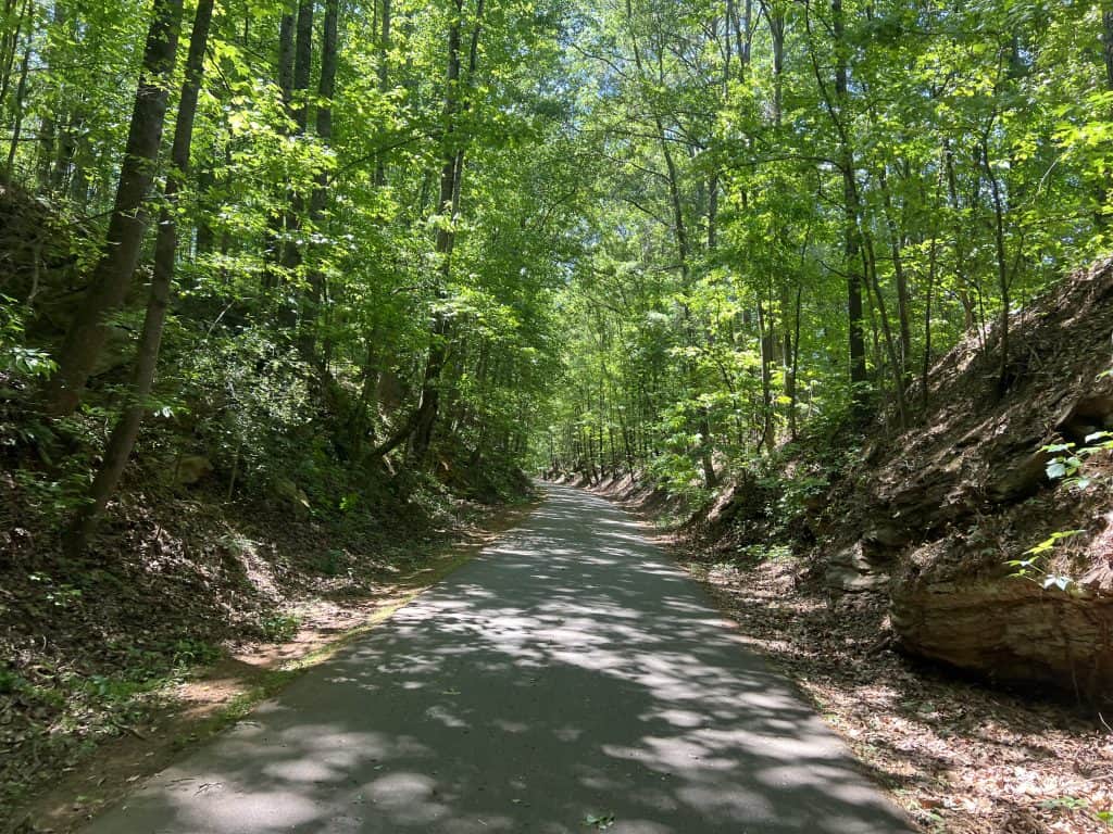
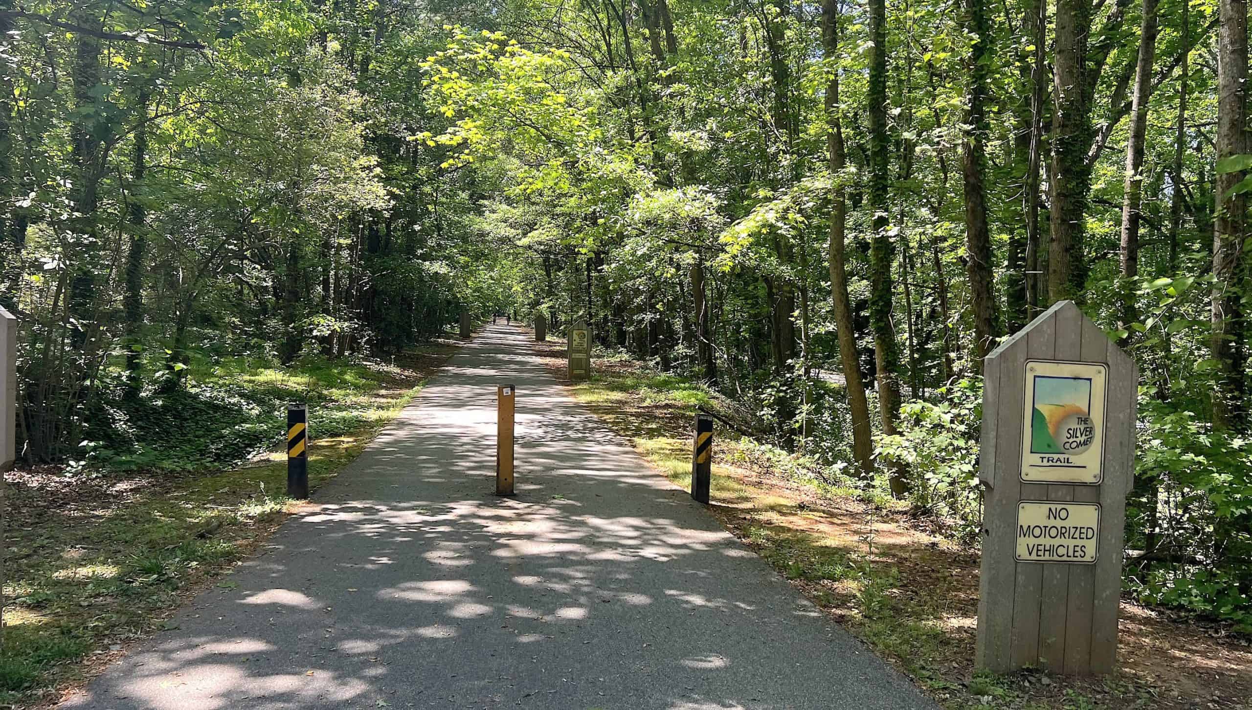
It starts on the east side in the suburb of Smyrna and runs a remarkable 61 miles long all the way to the Alabama border. There are a few cool tunnels, lighted. It’s all smooth pavement. The whole thing is, again, 12 feet wide.
And it’s gorgeous.
The majority of it runs through dense forest. So it’s very shaded, which could be handy if you’re in Georgia in the warmer months. The trees also block wind. But they do keep the trail from drying quickly after a rain, as I discovered on my messier second day of riding.
There’s one short section where the trail runs through a line of short trees and the sun is abundant. It’s like riding through a vineyard.


On the western half, which I started from the Coots Beach parking lot, the trail escapes the suburbs and enters real rural, lush, hilly country.
It is in fact so rural that signs thoughtfully advise you to have water, sunscreen and a cellphone in remote stretches that run about 10 miles long.
The trail runs through a few small towns in this rural country, like Rockmart and Cedartown. You encounter local parks in the former, the poorer central part of the latter.

All along the 60 miles, the signage is excellent, even as it varies with the town or county. Signs alert you to intersections and often tell you of upcoming towns, attractions, food options and even convenience stores (“c-stores,” as they say).

Plus excellent pedestrian crossing signals are provided at many of the busier intersections. You press the button and soon the traffic will be stopped by a red light. One signal was even triggered automatically with a camera. By the way, I also saw security cameras here and there.
Yet you’ll still see plenty of people, though admittedly more on the eastern half within the suburbs. The trail finally ends at the Alabama border, where the rail-to-trail Chief Ladiga Trail takes over for another incredible 40 miles.

The popularity of the Silver Comet is well-deserved. I’d even venture to call it a destination trail.
And in greater Atlanta, the trails are the way to go. The bicycling infrastructure has been steered toward them, not the roads, so you should steer yourself that way, too.
• Do you find information like this valuable? This free website is made possible almost entirely by readers like you. Consider donating to help defray the costs of gathering and presenting this material.