Some great roads are kind of a secret; they may take a while to find on a bike. But they’re so worth it.
I call them destination roads, or the money roads. They bring you a big payoff — they’re so money! You go on a long ride, enduring routine or difficult or simply boring routes, just to finally ride them.
One such road for me for a long time is Tacoma Lake Road in southern Illinois.
Tacoma Lake Road is down in the Shawnee National Forest and the Crab Orchard National Wildlife Refuge. It runs along the northeast side of Devils Kitchen Lake southeast of Carbondale, south of Herrin and southwest of Marion.
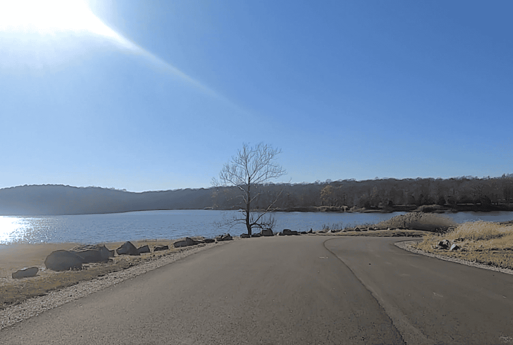
So why is it called Tacoma Lake Road? On the very east end, it passes the little Lake Tacoma. The road runs a little less than 4 miles between Wolf Creek Road and Grassy Road — and these roads are a good half dozen miles south of the forest-bordering state Route 13, between state Route 148 and U.S. Route 51.
It’s really not too far given that the forest continues south for several more miles. Still, many of the locals don’t know Tacoma Lake Road. Hikers know it to access such trails as the Rocky Bluff Trail, and those who like fishing and boating probably know it, too.
But Tacoma Lake Road sure is worth the bike ride to get to.
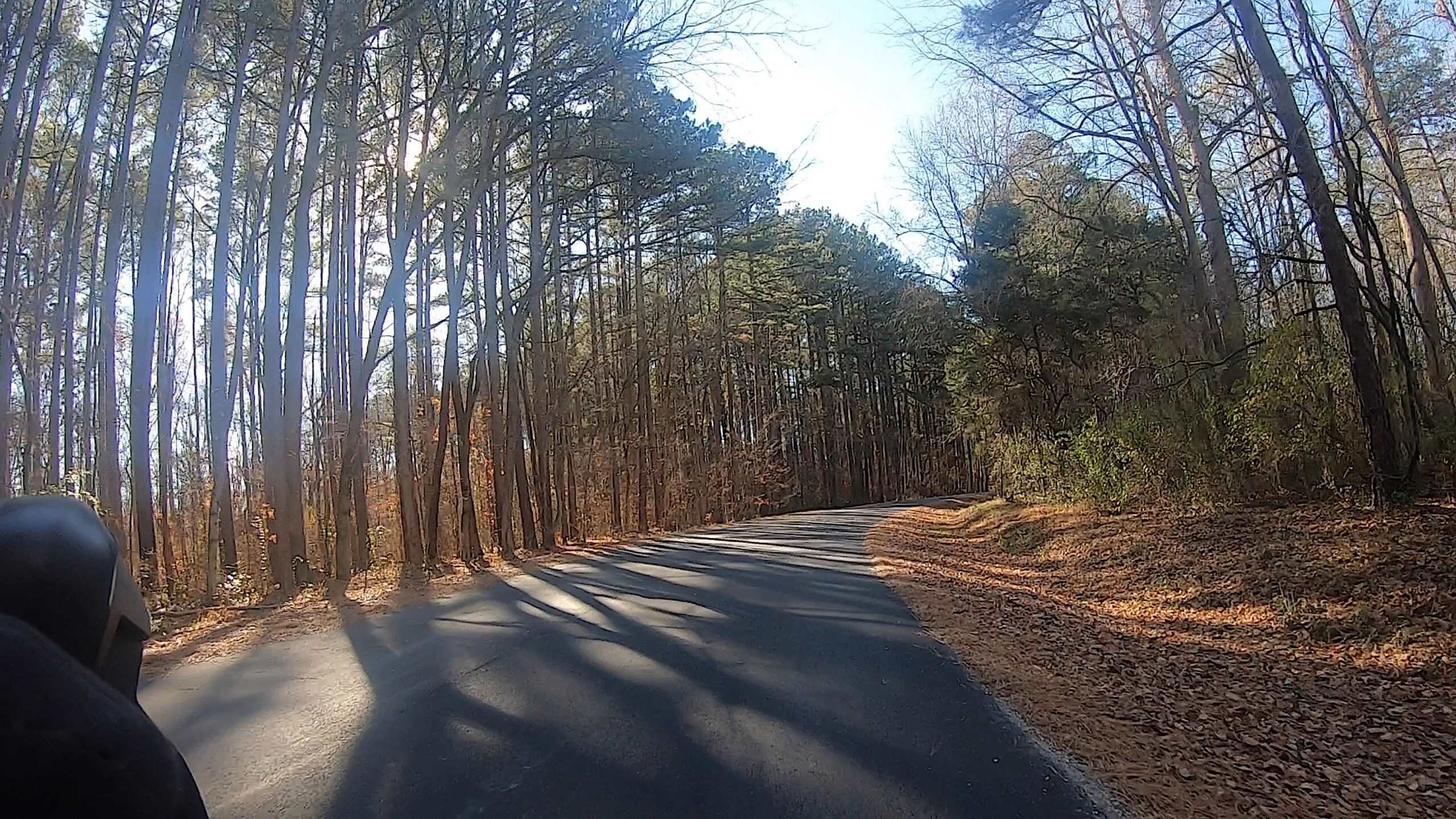
It’s lined with tall trees that are especially spectacular in the fall, there’s hardly any traffic ever, and on the northwest end you can get a neat view of Devils Kitchen Lake. Plus you can enjoy some fun downhills (which are less fun if you go southeast up them).
Even if it takes a bit to get to, the roads to Tacoma Lake Road, such as that Grassy Road plus Spillway Road, are nice to ride themselves. That’s a topic for another time.
Check out Tacoma Lake Road in this collection of scenic video clips vacillating between November and June rides.
In our suburbs: DuPage County
Destination roads exist in the Chicago suburbs, too. We have a lot of roads that are worth the trip to ride. Some examples:
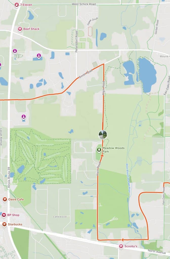
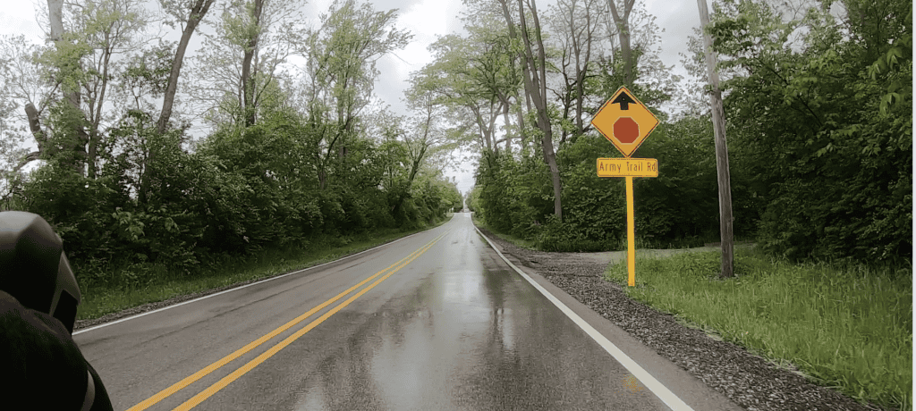
Klein Road in DuPage County: Klein Road is hardly a 2-mile stretch surrounded by Wayne, West Chicago and Carol Stream. Though it takes you by the West Branch Forest Preserve, it doesn’t lead to an entrance; you have to go to Army Trail Road or the other side of the preserve.
But maybe it’s Klein that gives you the best scenes, showing the preserve’s ecological variety. That’s in large part because Klein is a little hilly. When I get to the highest hill, I keep finding myself stopping and wanting to soak it in.
Klein is between St. Charles Road on the south, right by North Avenue, and Army Trail Road on the north. But there are ways to access it and exit it on both sides with trails and side roads. Read more.
Powis and Munger roads: Near Klein Road amid the forest on the west edge of DuPage County are Powis Road and Munger Road. The two run parallel to each other and are connected on the south by Smith Road. They’re good most of the week but especially on weekends.
Powis comes off Stearns Road on the north and heads south through the southern half of Pratt’s Wayne Woods. Eventually it also goes through a nice, tree-lined residential area. It eventually reaches Smith, which you can take east through the edge of Wayne, a suburb with spacious lots and big homes.
Smith leads to Munger Road, which you can then take back north toward Stearns, on the edge of Pratt’s Wayne Woods. If you have a bike suitable for gravel, you could take a trail just to the west off the road. Read more and see the video.
Indian Knoll Road: This is a hidden gem parallel to Prince Crossing Road in west DuPage County. I ride it when I do my DuPage loops.
It’s just a mile long between Winfield and West Chicago. It’s a heavily tree-lined street that takes you by homes with their lovely lots. It’s away from traffic, so you can hear every bird in the spring, cicada in the summer.
Then in the fall, this is one place to get a colorful show.
I access Indian Knoll Road from the south, from Winfield, then take it to its end at Prince Crossing Road. Read more and see the video.
Lake County
Cuba Road: Cuba Road is by no means a secret but certainly a destination. It has provided a serene setting for far northwest suburban residents for decades.
Cuba has remained a two-lane, mostly tree-lined road extending 9.5 miles from Long Grove on the east to Barrington Hills on the west, with Kildeer, Deer Park and a piece of Lake Zurich in between. It’s part of the first settlements in that part of the Chicago area.
But in recent decades Cuba Road has been the focus of haunted legends, all while remaining a haven for bicyclists. The east-west road is accessible from a number of north-south thoroughfares, like Ela Road and Quentin Road (where it shifts). Read more and see videos.
Old McHenry Road: Cuba Road’s east end comes off Old McHenry Road in Long Grove. Old McHenry Road is one of the first destination roads I wrote about. And serious construction could soon reshape it, while repaving is happening on the east end.
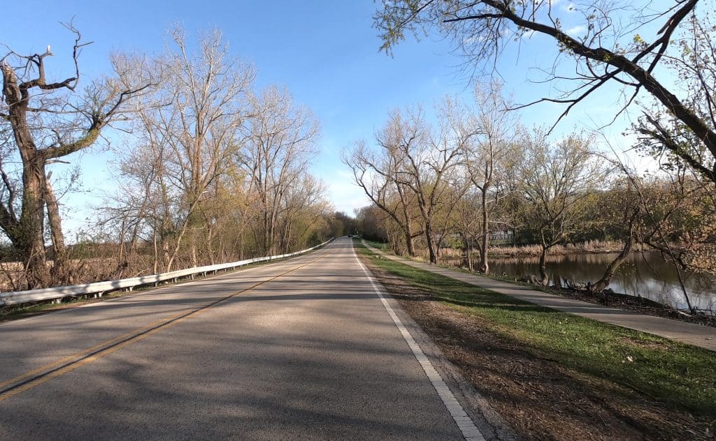
Echo Lake Road: This road entering Lake Zurich from the north is lined with trees and fun with a downhill to Miller Road. It can be a payoff from Old McHenry Road and plays a part in a favorite Lake County ride that I do.
Callahan Road: Old McHenry Road also leads to Wauconda. In the summer it’s particularly fun to ride Main Street through downtown and by Phil’s Beach on Bangs Lake. Then you can continue northwest on Old Rand Road and soon come upon the secret Callahan Road.
Callahan exits Wauconda’s village limits and into open country. It’s less than a 2-mile segment with slightly rolling hills, and there’s little traffic. Why would there be? I suppose this is a shortcut to Gilmer Road to the north.
Callahan really is a shortcut to a lot of interesting options, like Fish Lake Road and the Millennium Trail. Read more.
McHenry County
Spring Creek Road: Spring Creek Road in Barrington Hills is not one of McHenry County’s designated “scenic roads,” but it could be. The road is the first east-west throughway in the village north of Lake-Cook Road, stretching 3.5 miles before it becomes Highland Avenue in Algonquin on the west for 1.5 miles. Along the way, you pass beautiful horse farm country and maybe even sunflower fields.
I ride the full length of Spring Creek Road starting on the east end from Ridge Road. I always quickly find the scenery soothing, even if it’s Plum Tree Road on the north end of the village that gets the “scenic road” sign. Read more and see video.
Spring Creek Road is also now all repaved! That makes it an even better part of a larger ride that leads to …
River Drive: Also sometimes called River Road, of which there are many in our area, this one lines the Fox River in Algonquin. You access it from northwest Barrington Hills via Algonquin Road — not Route 62 but a local street that curves and becomes River Drive.
Homes are on the left, usually on little hills. Docks and parked boats appear regularly on the right. You get a great river view, and in the warm months you’ll be rolling alongside people in their boats and floats. It’s a great summertime feel.
At other times of year, it’s still a lovely view with the sun on the river from the southwest in the afternoons. Read more and see video about the favorite ride that makes River Drive the destination.
Braeburn Road: Here’s another secret road. It’s just a 1-miler deep in Barrington Hills between Spring Creek Road and the village’s Algonquin Road (not Route 62). Braeburn is quiet, lined with trees and complete with a thrilling downhill on the north end.
Rawson Bridge Road: This road between Port Barrington and Cary takes you along and over the Fox River — at one point right along the river. It’s a lovely stretch especially in the easy breezy summer. A lot of trees line the route, and you pass the locally famous Broken Oar Marina-Bar & Grill.
Going southwest, soon you jut inland a little, then head up a bridge over the Fox. Continuing west, you ride on a more tree-lined road. There’s also a South Rawson Bridge Road, a lovely and hilly stretch through a spacious residential area. Read more and see video.
The North Shore
Sheridan Road: This is no secret at all. North Shore cyclists have been riding the amazing Sheridan Road forever. Who could resist?
A lot of Sheridan Road is right along Lake Michigan, starting right away in Wilmette after leaving Evanston. As you go north, it may weave a little off the lake — only because of the huge mansions in the way. The road meanders through the suburbs of Kenilworth, Winnetka, Glencoe, Highwood, Highland Park and Lake Bluff.
It sometimes turns west to get around ravines, The Ravines in particular, but then it’s often just crossing ravines with the help of bridges. The farther north you go, the less traffic. Tall trees line the vast majority of the road and form a canopy in spots.
Sheridan offers attractions, too. The Bahá’í House of Worship is in Wilmette, as is the town’s Gillson Park and Beach. More beaches can be accessed along the way northwest. As you reach Lake County and head into Highland Park, Sheridan takes more fun curves. You’ll pass the Ravinia area and encounter Fort Sheridan, where you could ride loops if you wanted.
Read more and see video about Sheridan Road.
• Isn’t talking cycling roads fun? What are your favorites? Leave a comment. And consider a donation to keep this website going.