Sleepy Hollow, the suburb west of the Dundees and Carpentersville in Kane County, is no match for the village of Sleepy Hollow, New York, when it comes to legends.
The New York small town is a New York City suburb that renamed itself Sleepy Hollow in 1996 to draw on its alleged setting in Washington Irving’s famous ghost story “The Legend of Sleepy Hollow.” Irving didn’t live in North Tarrytown, as the village had been called, but once stayed for a time and ultimately lived in its neighbor to the south, Tarrytown. (There’s not agreement that Irving set his tale of Ichabod Crane and the Headless Horseman in North Tarrytown-now-Sleepy Hollow.)
But Sleepy Hollow, Illinois, and Sleepy Hollow Road have some history of their own.
Sleepy Hollow Road is said to have started out as an American Indian path and evolved into a gravel road through farms. It now runs within and beyond Sleepy Hollow’s borders, about 6 miles long from the Elgin border at the Jane Addams Tollway on the south to County Line Road in Algonquin on the north.
As a road that has an off-road path at some points and then is simply pretty with lines of trees, it’s good for casual bicyclists and serious cyclists. Especially south of the road’s jog at Route 72, it’s particularly rustic — and intentionally kept that way.
The history
Sleepy Hollow the town was established to be residential and residential only. There are no stores or businesses in the village. Its original site did have the “Sleepy Hollow” moniker.
Floyd T. Falese of Carpentersville bought the Sleepy Hollow Farm west of West Dundee in 1953, according to Sleepy Hollow village history. The farm had once been owned by J.H. McNabb, board chairman of Bell and Howell Co. Falese built a home there with two lakes and a waterfall.
He later acquired adjacent properties and created an upscale housing development first marketed as Sleepy Hollow Manor. And he didn’t want any Chicago-style street grid.
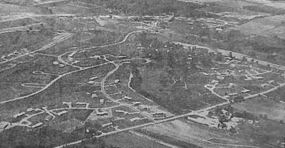
The development was built with loops of roads — which I had to learn to navigate to get back east of the Fox River; more on that later.
This initial subdivision was in the “flats,” the area east of Sleepy Hollow Road and bordered on the north by Route 72, the village history says.
Eventually homes and streets were built in the “hills” west of Sleepy Hollow Road.
Residents, many of whom had been “Dundee people,” rejected annexing the developments into West Dundee and instead voted to incorporate as their own village in 1958.
Preserving a rustic road
West Dundee’s interest in — or threats on, if you prefer — Sleepy Hollow Road continued decades later. An effort in the 1990s into 2000 aimed to address the jog of the road at Higgins Road/Route 72.
We at the Daily Herald and other newspapers had covered the movement for years. The realigned intersection, with a traffic light, would have served the new Carrington Reserve subdivision within West Dundee village limits, and maybe it would have created a new efficient route south into Elgin, besides Randall Road and Route 31. Sleepy Hollow Road turns into Elgin’s McLean Boulevard south of the tollway.
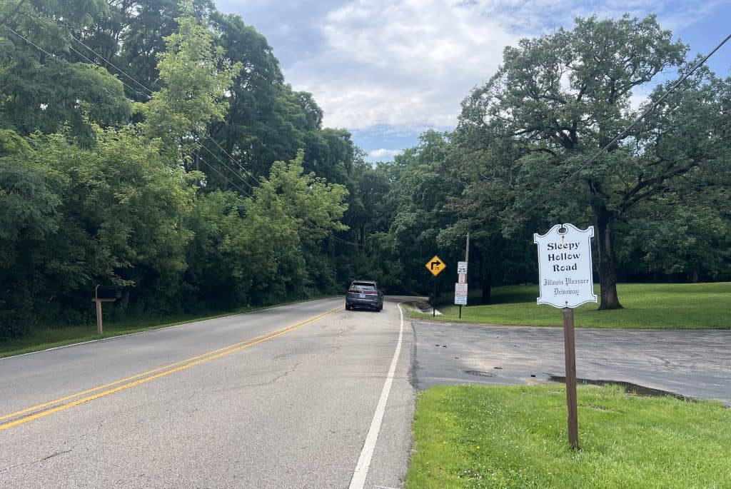
One resident, Mona Abboud Auer, led an effort to preserve the road. She wrote in the village newsletter on Nov. 29, 2000:
“Make no mistake, Sleepy Hollow Road, the short scenic section south of Illinois 72, was slated for death. … Now the bucolic, 1-1/2-mile stretch has dodged a sad demise thanks to concerned and dedicated residents and a sympathetic majority on the Sleepy Hollow Village Board.
On Nov. 6, the village board voted to designate Sleepy Hollow Road as a ‘Pleasure Driveway,’ based on a state law dating back to the mid-1800s. This is a protective measure that should ensure the road’s survival in its present state and preserve its unique natural beauty for years to come. The law empowers the village of Sleepy Hollow to control the appearance, weight loads, number and types of vehicles, speed limits, and any alterations such as curb cuts.”
The jog remains, with a separate street straight across from the northern Sleepy Hollow Road into the Carrington subdivision. Sleepy Hollow Road continues south just to the east as it always has.
The village board also voted against including Sleepy Hollow Road on a Dundee Township bike-pedestrian trail plan, the Elgin Courier-News reported in 2016. Opponents pointed out that the two-lane road is only 20 feet wide with some major drop-offs.
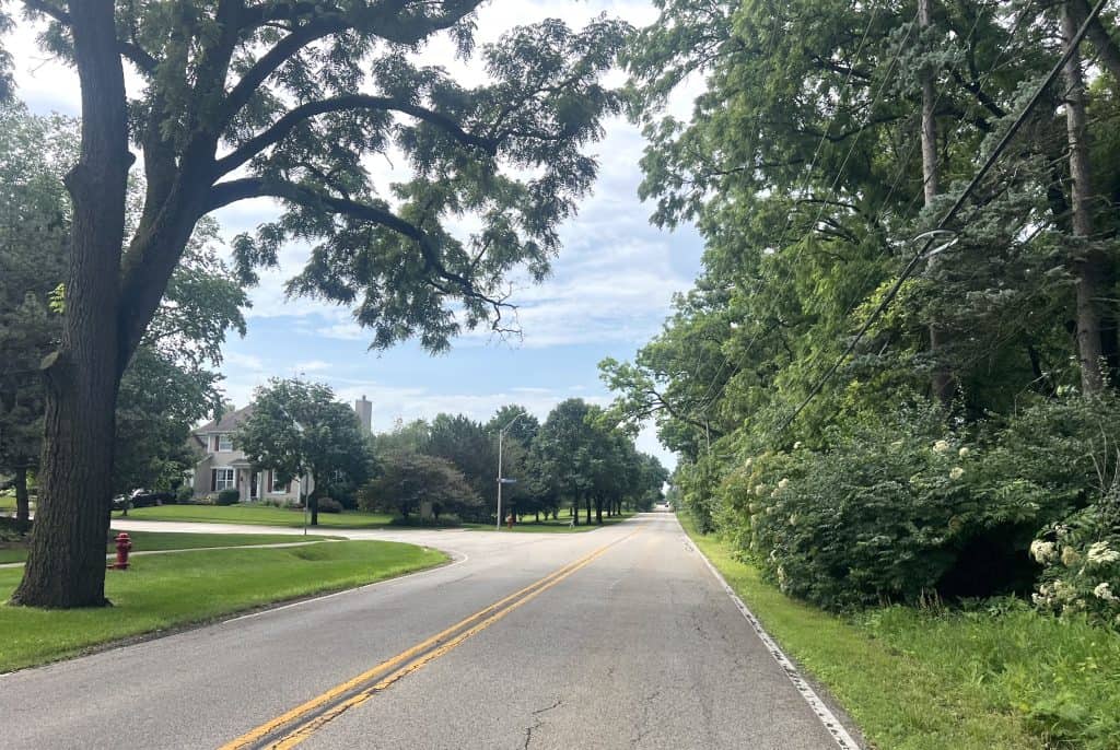
Abboud Auer, a songwriter, even wrote “The Ballad of Sleepy Hollow Road” to cap her campaign. “(It’s) a little piece of heaven, sheltered from life’s weary load, ’tis a stretch of timeless beauty, our Sleepy Hollow Road,” go some of the lyrics.
North of Route 72
Sleepy Hollow Road north of Route 72 is less rustic but still decidedly suburban.
And the notion of keeping it out of any bike-pedestrian trail plan has been met with mixed results. That’s good or bad, depending on your view.
The road’s north end in Algonquin and Carpentersville is the most spacious. There are still plenty of trees lining the road, if not right over the road, with fairly big home lots behind them.
And, there’s an off-road path on the west side. It’s clearly been there for a while, but it’s in pretty good shape.
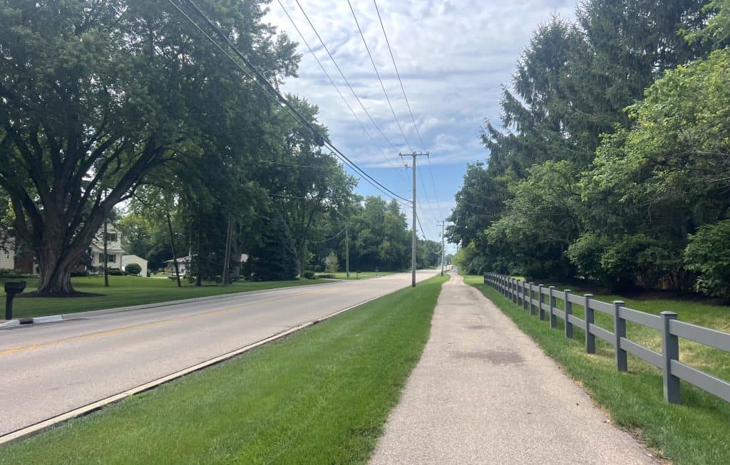
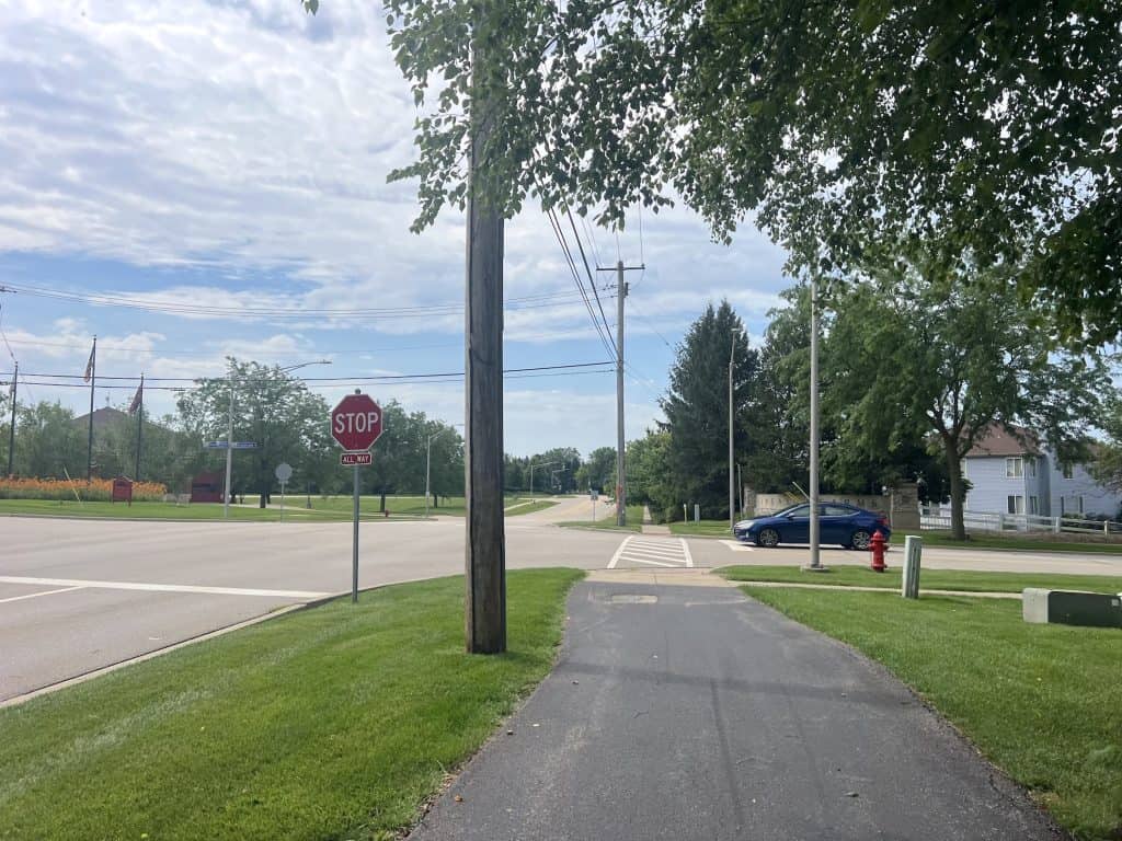
That path runs from County Line Road to Grandview Drive. Then bicyclists riding south must hit the road.
The riding is still pretty easy, because the traffic is usually pretty light and there’s space for bicycles.
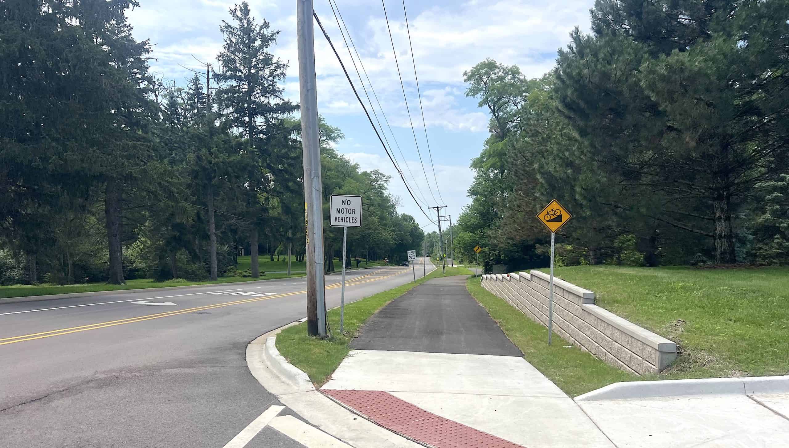
Then suddenly after Huntley Road, a sidepath starts again on the west side, where there’s a subdivision. The black-asphalt path looks new (see the picture at the top of this article). And this is West Dundee territory. Guess which suburb strikes again?
Soon you arrive at Higgins Road and the jog. If you’re not a regular there, it’s easy to think you just cross and continue to the street straight ahead. But that’s Carrington Drive. You have to look left to see the rustic Sleepy Hollow Road and the sign designating it.
How to get to and from it
One problem with Sleepy Hollow Road is that while it’s a neat road to bicycle, it’s a little out of the way. But there are ways to and from it, including one fairly new one.
The entry and exit point linking directly to Sleepy Hollow is east in, wouldn’t you know, West Dundee at the Fox River Trail. Handy as it is, it’s not advertised on either side.
On the Fox River Trail side, a path shoots off west just north of Richardson Drive. It takes you across the river to South End Park. You must take Dunning Avenue to Strom Drive.
You ride west to cross Route 31, and here’s where Sleepy Hollow’s original, curvy street layout comes in. It’s Willow Lane and Winmoor Drive to Thorobred Lane, which gets you to Sleepy Hollow Road. Basically, you have to make sure you keep going west.
By the way, there’s also a bike path in town just east of Sleepy Hollow Road, running from south of village hall on Thorobred Lane into the Julke Creek Bird Sanctuary — a bonus offering around the village.
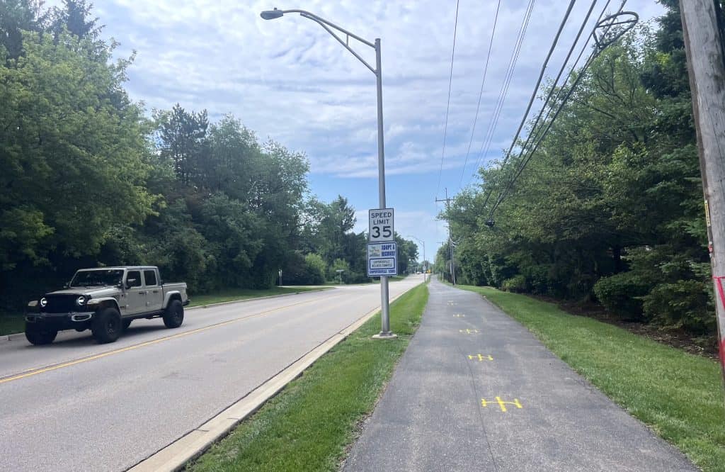
The north half of Sleepy Hollow Road now connects to the Longmeadow Parkway Trail, as a result of the Longmeadow bridge opened in 2024. I’ve used the bridge as my access to Sleepy Hollow Road coming from the east, as it also links to the Fox River Trail. You can pass the Brunner Family Forest Preserve and its gravel trail on the way.
Sleepy Hollow Road is just west of the Raceway Woods Forest Preserve with its trails and Meadowdale International Raceway, but the only way to those is to ride southeast on Huntley Road/Main Street; it can be done, but the traffic space is tight.
From the Fox River Trail and downtown Algonquin, off-road paths on Edgewood Drive, Hanson Road and County Line Road lead west to Sleepy Hollow Road’s north end.
So yes, there’s a beautiful rustic Sleepy Hollow Road to ride north of Route 72, even if there’s no bike infrastructure, but the rest of Sleepy Hollow Road south of Route 72 is pretty nice, too, and even has some bike paths. I’d call all of it a destination road in our suburbs.
• Isn’t talking cycling roads and trails fun? Share your favorite photos and videos of trails, roads and routes for a possible post. And consider a donation to keep this website full of pretty scenes going.