“Trails in the Tinley Creek region have been a priority for resurfacing in recent years,” Cook County’s 2026-2030 Capital Improvement Plan says.
It shows — certainly on the western half of the trail system’s main loop. But that doesn’t help with the many street crossings bicyclists must face and the lack of signage in this south Cook County forest preserve.
The Tinley Creek Trail system is a series of paths amid Palos Heights, Orland Park, Midlothian, Oak Forest and Tinley Park. The main loop is the 9.1-mile “Red” trail. A 1.7-mile “Green (North)” trail links it to a 3.1-mile “Purple” loop to the south off 159th Street. A 2-mile “Blue” trail hooks that up to Midlothian Meadows and a 3-mile loop.
Off the southwest corner of the main loop is a 1-mile spur to Catalina Grove off 151st Street. You have to cross Harlem Avenue to sample that.
That’s one example of the intimidating street crossings through the system. And that’s why the Tinley Creek system is best for casual bicyclists, not so good for families, for whom I’d find the intersections too dangerous, or for serious cyclists who would ride in fits and starts.

Smooth start
You can start riding the Tinley Creek system from Palos Heights — as far north as Palos Heights Community Park off 119th Street. A real trail a couple of miles long connects to Tinley Creek’s main loop. (There’s also a little link north to the Cal-Sag Trail.)
If you turn right at the loop to ride counterclockwise, you’ll find smooth pavement for about the first half of the loop, on the west side. It’s great to see that and ride it.
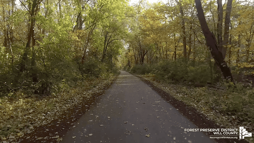
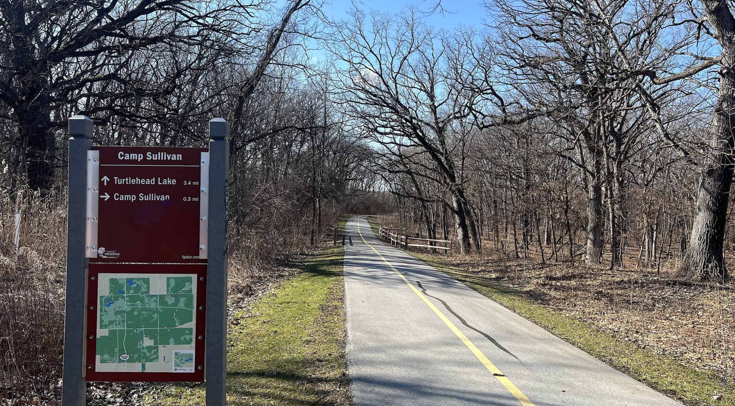
Also nice to see is the forest. Even in the middle of the southern suburbs, you ride through tall trees near Turtlehead Lake, and you can feel like you’ve gotten away from the hustle and bustle.
But in only a few miles, you’re thrown right back into that hustle and bustle.
Look both ways
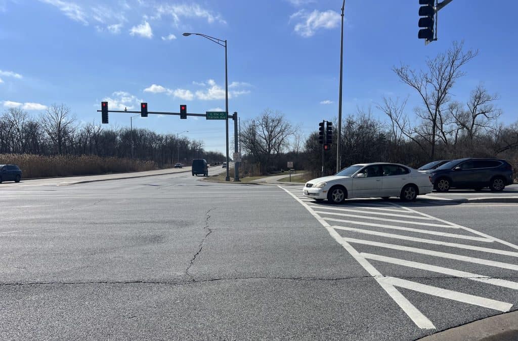

You have to cross the intersection of 143rd Street and Harlem Avenue — twice, really, because you have to cross Harlem Avenue to get east, then 143rd to go south.
Anybody who’s lived around Harlem Avenue, north or south, knows it’s perpetually busy. It’s a four-lane road here that fills up at any time close to rush hour.
143rd is a four-lane street itself. And there are turn lanes on both streets, too.
So you could be waiting awhile for the traffic lights, and then you must proceed gingerly to watch for the turning cars.
As you continue south, you’ll approach a fork where you can turn right and head to the Catalina Grove spur. But that requires crossing Harlem again. At least that spur is not essential riding, I can tell you. (This spur is up for repaving in 2026, the forest capital plan says.)
To instead proceed to the second half of the main loop, you head southeast to the southern tip. There you must cross another four-lane road, Oak Park Avenue.
Completing the main loop
That’s at the intersection with 151st Street, and it can be busy itself. At least you don’t have to cross 151st; you would do so only to ride the southern spurs (we’ll get to that). So cross Oak Park and head left. (There’s also parking here at Oak Park and 151st if you want to drive and start from here.)
Then you head northeast into Bachelor’s Grove Woods. That’s a lovely ride, though the trail is older here with a few cracks. In March 2026, there was even a construction detour on 143rd Street east of Ridgeland Avenue.

But the intersection of 147th Street and Ridgeland is much scarier.

Here you have to cross only 147th, but you have to watch out for the cars turning right off Ridgeland. At busy times, there could be a line of them, and the drivers may not be patient despite your right to cross the street. It’s somewhat less of an issue at off-peak times.
The remaining northeast quadrant of the loop is a lovely forest ride, starting through Rubio Woods, similar to the northwest quadrant. You can eventually stop at Arrowhead Lake, another parking area (road access off 135th Street).
Alas, to complete the loop, you must cross Harlem Avenue one last time. It’s not as unpleasant as at 143rd, but it’s not exactly pleasant, either.
The southern spurs
Back down at Oak Park Avenue and 151st Street, you have the option to actually cross 151st south to the “Green” spur, which takes you down to a couple of loops to the south and east.
Another weakness with the Tinley Creek system is that the signage isn’t great. You really have to watch the vertical “Trail” markers at the forks and notice the little colored squares, else you could find yourself on a spur or on the loop when you wanted a spur.
On the plus side, the southern spurs — once you cross busy 159th Street/Route 6 — are devoid of street crossings. What a relief!
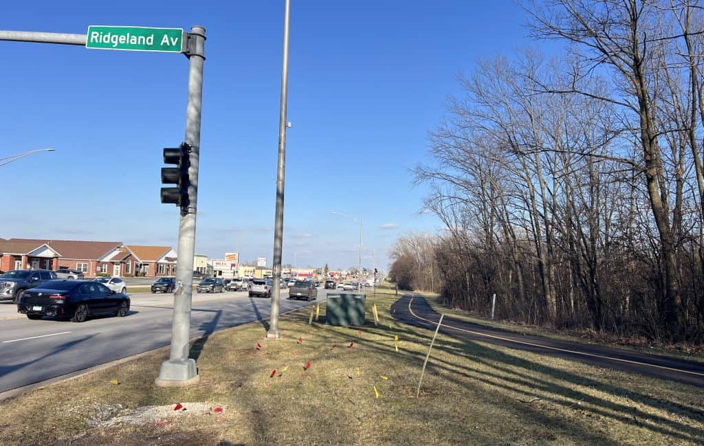
The Green spur runs along Oak Park Avenue for a bit before it hooks up with the “Purple” loop around the George W. Dunne National Golf Course. Here there’s some new asphalt, too — brand new on the northern side along 159th Street.
You can ride the 3-mile Purple loop uninterrupted. Or off the southeast corner, you can pick up the “Blue” spur, which runs along the Midlothian Reservoir after a simpler crossing of Central Avenue.
The bumps to bumpy Midlothian Meadows
The Blue trail also leads to Midlothian Meadows, which could be another peaceful 3-mile loop. But there are catches.
First, you have to cross five-lane Cicero Avenue, and without the help of a traffic light. There is a painted crosswalk, but there’s no refuge island; you really have to wait for traffic to clear.
Then the trail on the east side of Cicero is barely a trail anymore.
An occasional yellow stripe is evidence that a paved trail has been there, but a lot of the asphalt is crumbled or covered with grass patches. I also encountered a dead deer right on the trail. Now I can add that to my list of adventures.
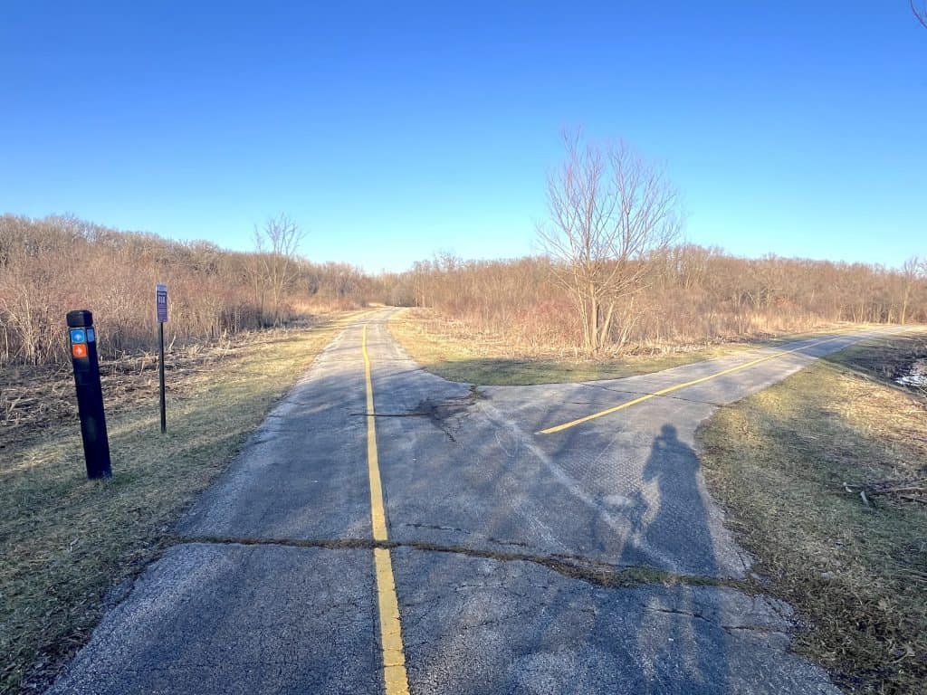
The rough ride lasts about a mile back to 159th Street, which you cross to Midlothian Meadows. The forest district’s capital plan says Midlothian Meadows loop is up for resurfacing in 2026.
That’s good, because it really does need it. Big cracks of the buckling and tree root variety make for constant tha-thunks over most of the 3 miles. I’ve been sampling south Cook County trails that the forest district has had on its capital plan to see if they really should come ahead of the bumpy Busse Woods out in the northwest; there’s no question it’s time for Midlothian Meadows.
No word on whether the stretch along Cicero Avenue is also up for repaving. (And I presume the deer will be cleared sometime?) But Midlothian Meadows does have its own entrance and parking area off Pulaski Road.
You have to go back the way you came to return to the Thorn Creek system proper. But you’ll be back on smooth pavement. Just be careful at all those street crossings on the main loop.
• Do you find information like this valuable? This free website is made possible almost entirely by readers like you. Consider donating to help defray the costs of gathering and presenting this material.